This trip takes you all the way down south to the Fish River from where you work your way back north. You will visit the Fish River canyon on a guided day trip and experience the old abandoned mines in the Sperrgebiet around Luderitz. You then follow some very scenic roads to the Namib Rand area and the big sand dunes of Sossusvlei, where you admire the high dunes and enjoy a balloon flight. Your drive will take you via Swakopmund along the Brandberg Massif to the Spitzkoppe and to Twyfelfontein, where you will track desert elephants and marvel at rock paintings.
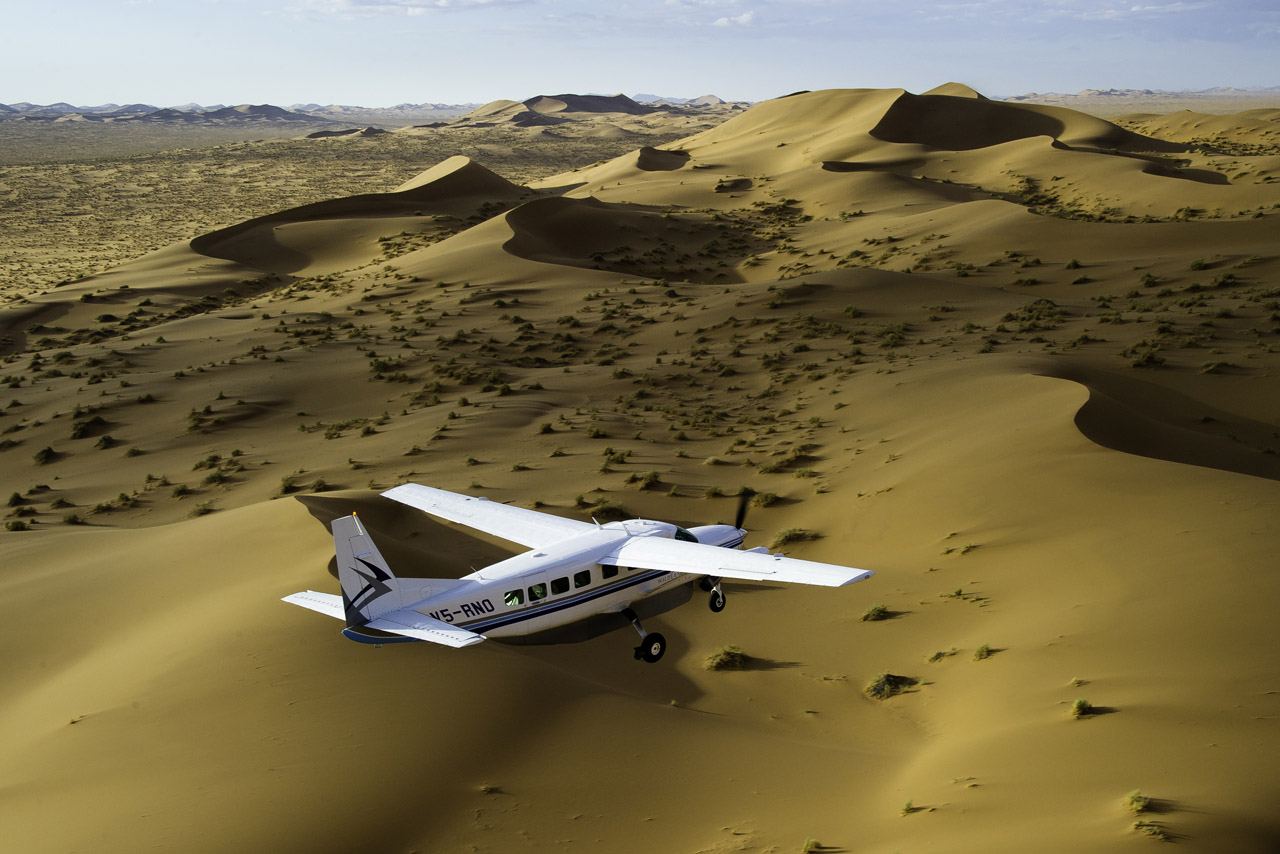
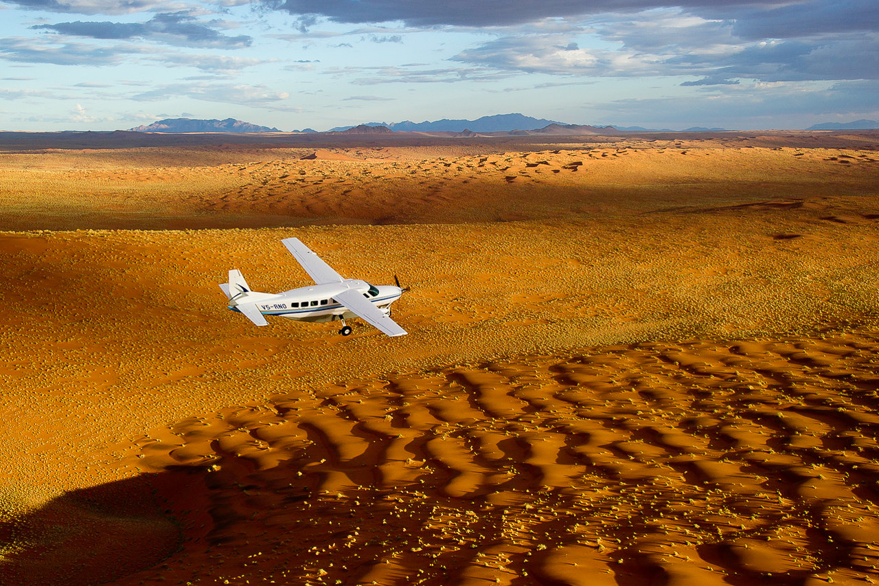
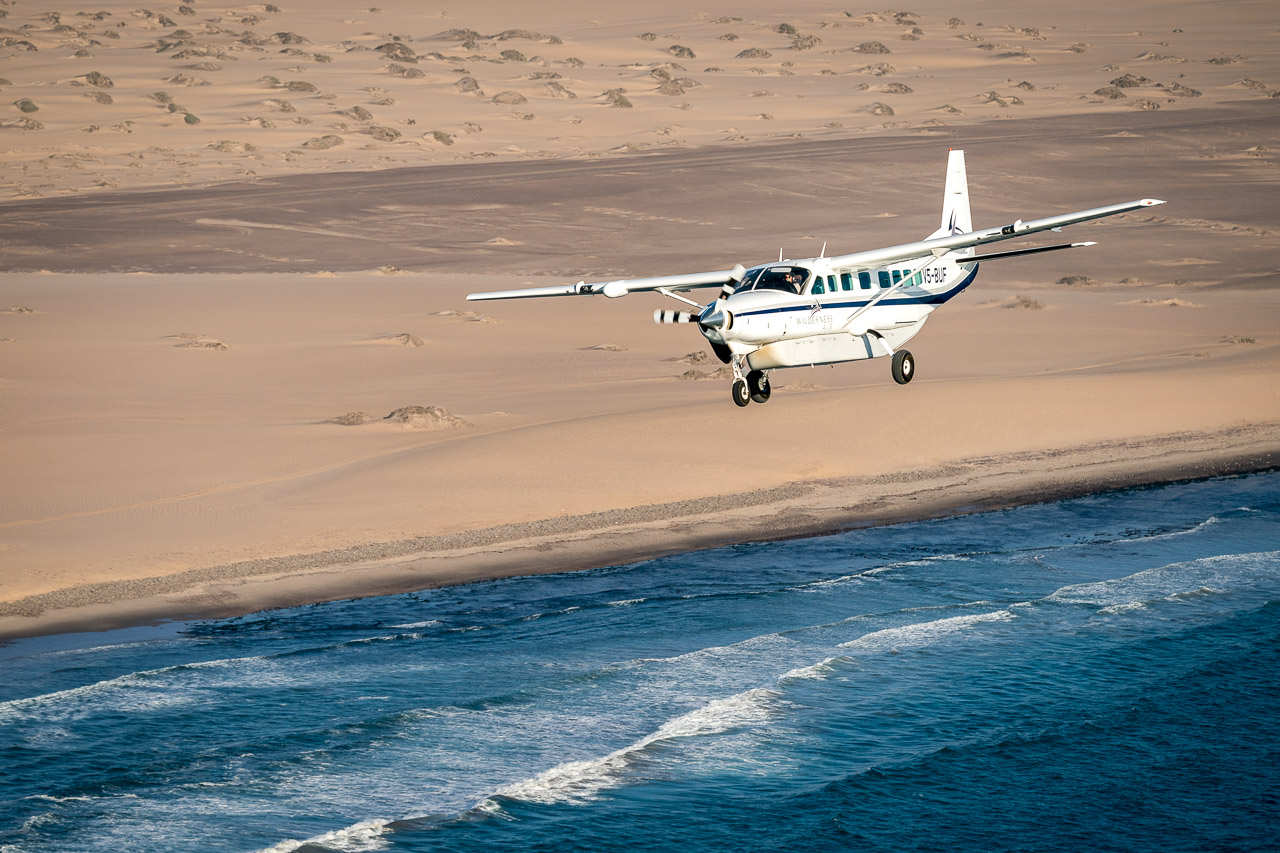
You now leave your vehicle behind and fly by small plane to the Hoanib Valley and the wildlife-rich Etosha National Park, where you will visit the many waterholes and have the opportunity to admire a variety of animals up close. From Etosha you will fly back to Windhoek, arriving at approximately 14:50.


Accommodation
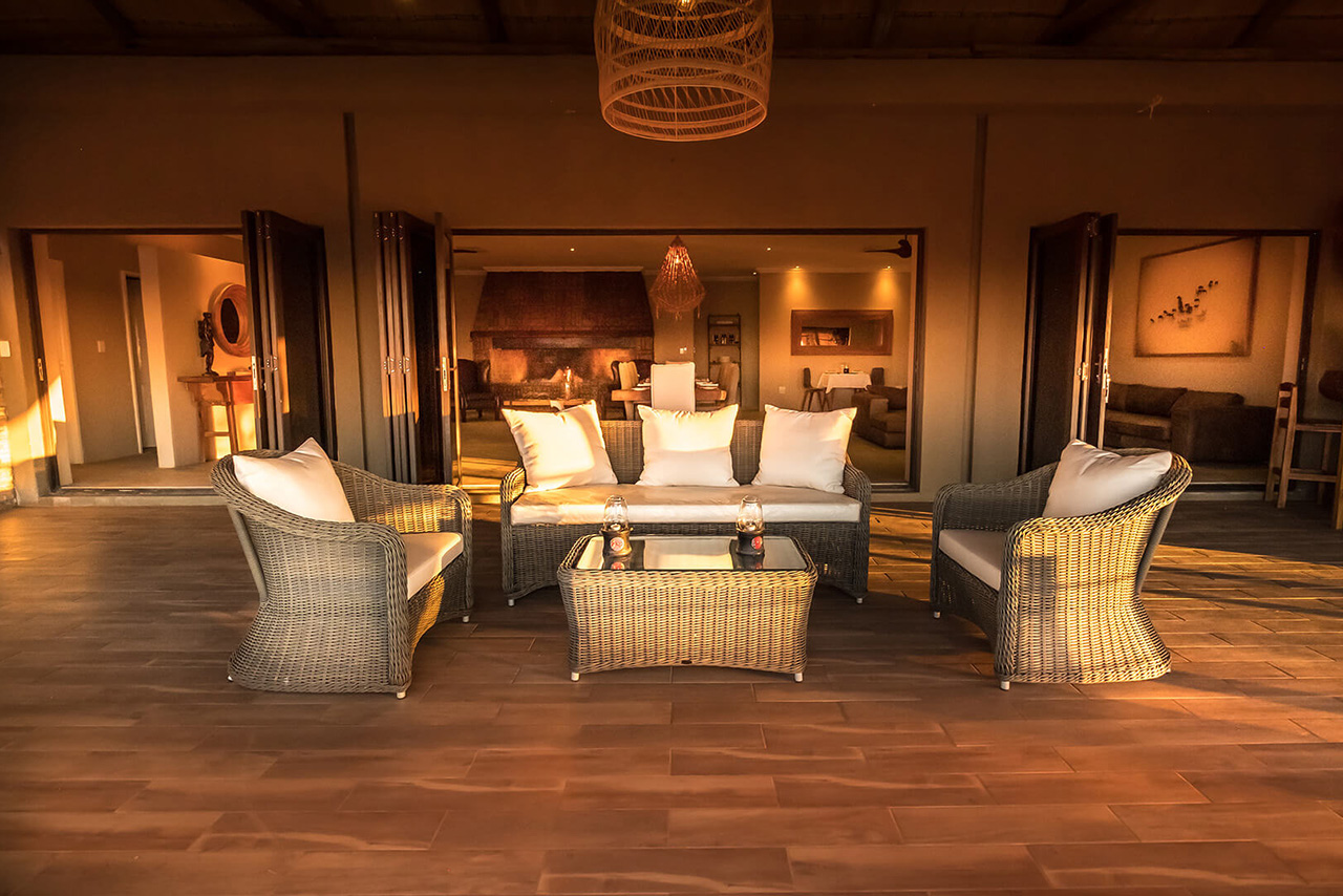
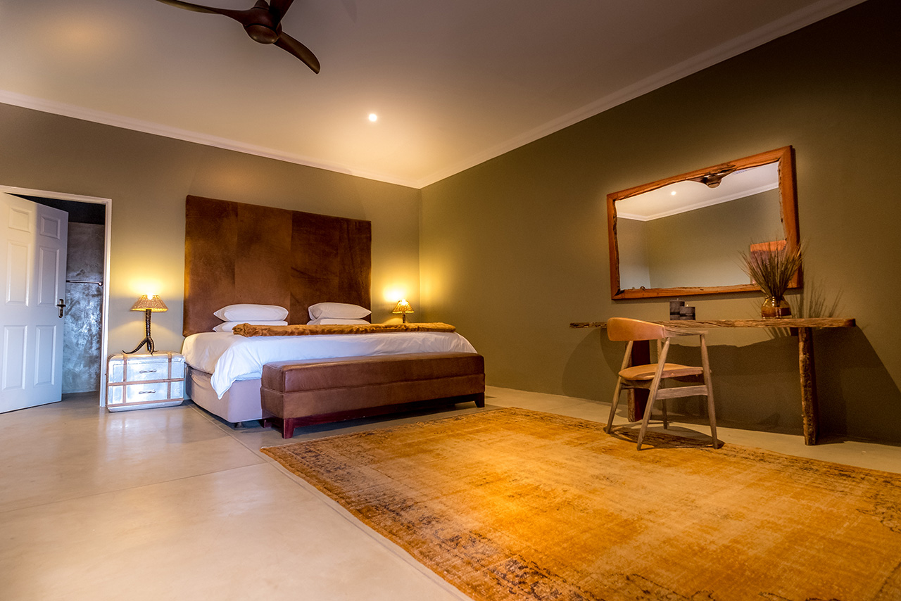
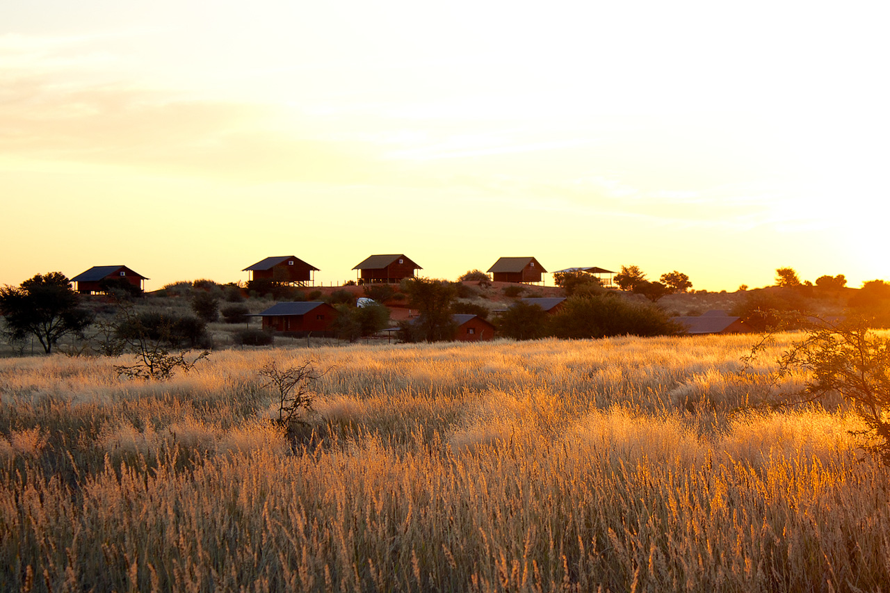
The classy Boutique Farmhouse was opened in 2020 and offers an elegant alternative to the Bagatelle Kalahari Lodge. 4 Luxury Rooms and 4 Standard Rooms are available to guests of the farmhouse. All come with en-suite bathrooms, air conditioning and private terraces with magnificent views of the dunes - the Luxury Rooms offer more space as well as a bathtub.
The tasteful dining room and the large main terrace with infinity pool invite you to relax. Enjoy the unique view of the red dunes of the Kalahari with a sundowner in your hand.
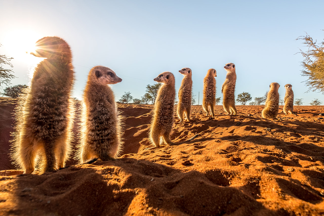
We use the camps in the southern part of the Kalahari at Mariental as stopovers on our self-driver tours in order to break the long journey from Windhoek to the south or to Wolwedans. Most lodges offer so-called ‘scenic drives’, which allow visitors to explore the region, but guests should not expect to see too much wildlife here. A Kalahari Bushman Walk is recommended for those interested in gaining insight into the life of the indigenous Bushmen.
Further south, close to Keetmanshoop, which is situated around three hours’ drive from the southern Kalahari camps, is the so-called Quiver Tree Forest. More than 200 of these usually solitary aloe plants grow together here to form a kind of ‘forest’.

Accommodation
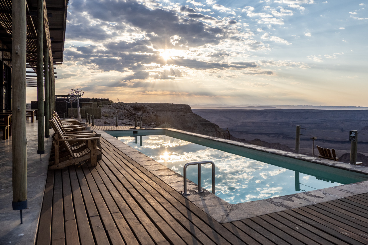
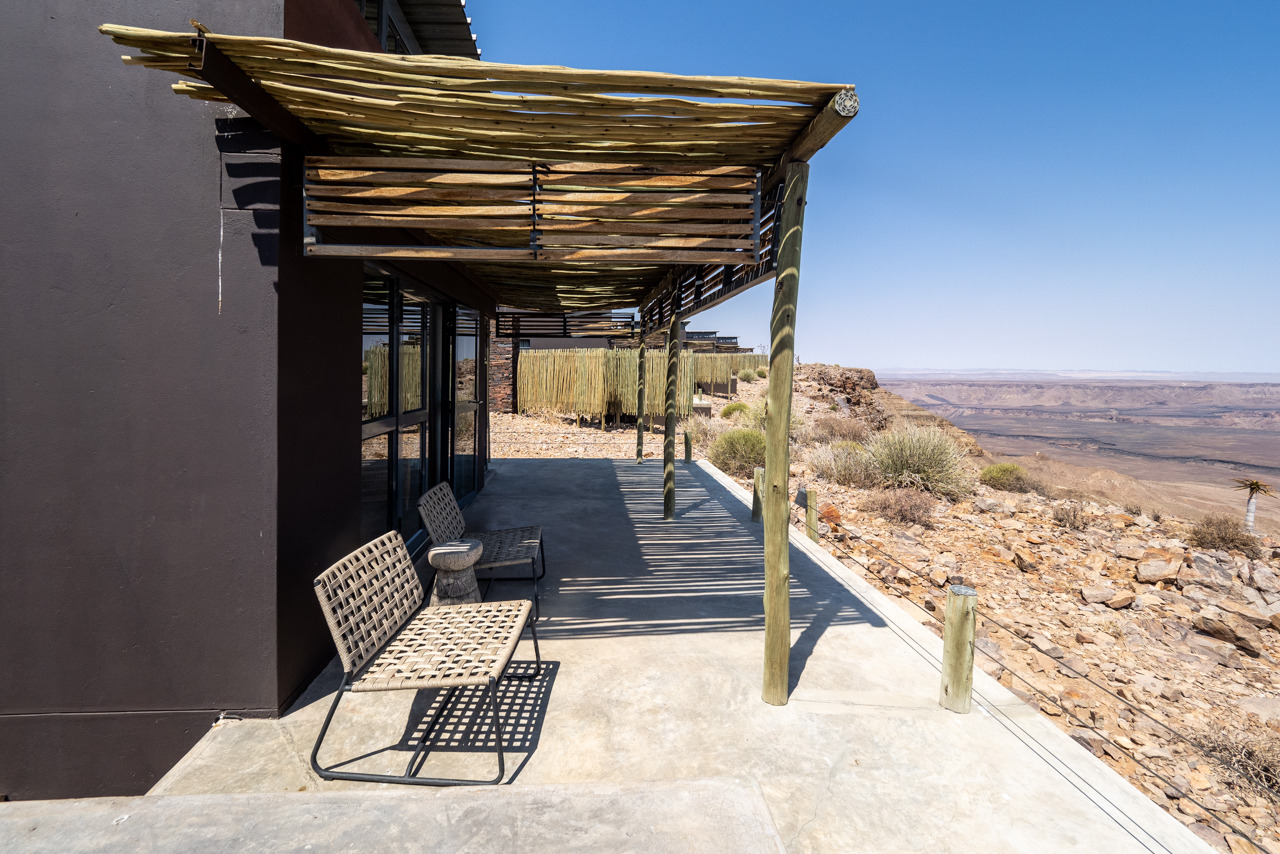
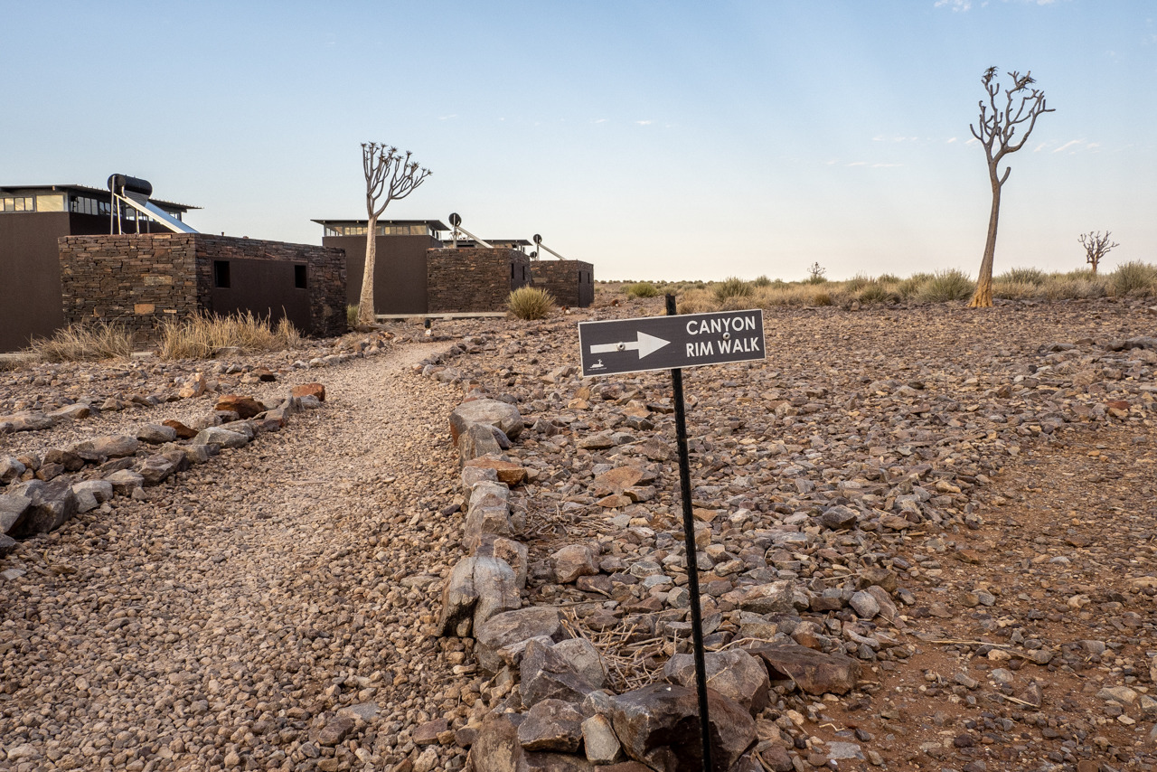
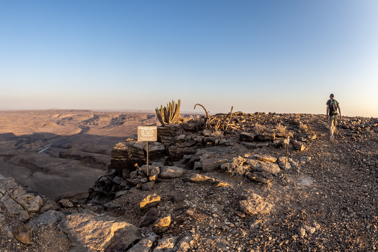
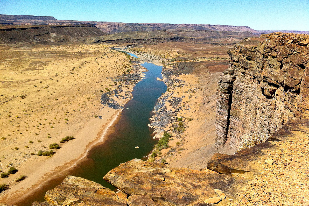
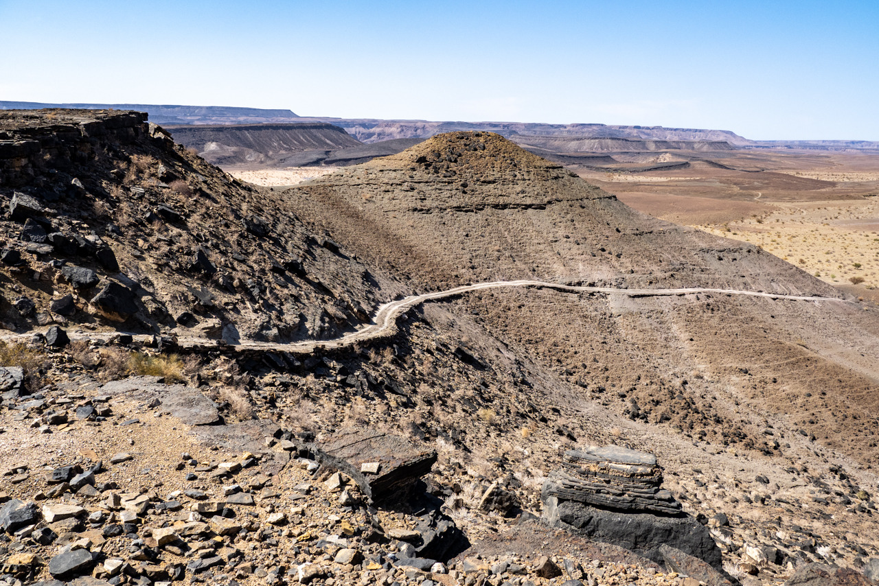
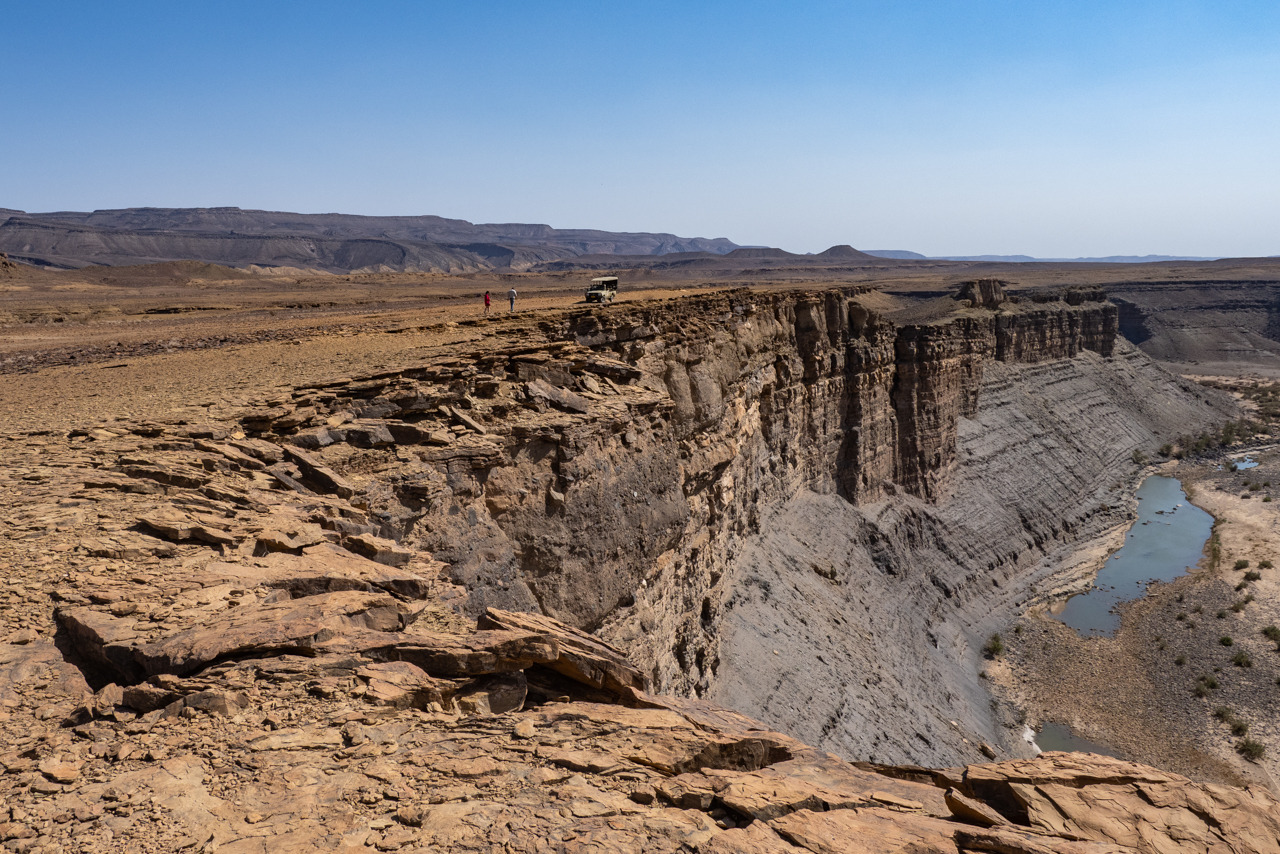
Marvel at the world’s second largest canyon from the lodge’s terrace! Fish River Lodge is the only lodge situated on the very edge of the spectacular Fish River Canyon, offering guests unparalleled views from sunrise to sunset. The Fish River has nibbled away at the rock for millions of years to create a river valley 550 m deep and 90 km long - and you are sleeping just 8 m from the abyss ...!
The unique quiver trees that are found all around the lodge have had a great influence on the design of the lodge. The dark exterior colour of the main building and the rooms blends seamlessly with the harsh, stony surroundings. The interior decor is a mix of traditional and modern furniture, with many accessories created in the workshops of nearby San and Nama people.
The lodge offers 20 spacious chalets with large window façades allowing spectacular views of the canyon. The rooms have a veranda with deckchairs, a bedroom, dressing room and bathroom with indoor and outdoor shower. Due to the exposed location, strong thermal winds are likely to arise in the afternoon as the temperature rises, which can become a bit noisy. For this reason, on arrival guests are given a welcome pack with earplugs to ensure a good night's sleep.
Sandy paths connect the chalets with the main building. Here you will find the reception, the restaurant, the lounge and of course the large outdoor area with pool and deckchairs and direct access to the bar.
The access road is NOT from Seeheim, but further west, as the lodge is located on the western side of the canyon. The drive from Keetmanshoop towards Lüderitz to the D463 turn-off takes one hour, then another hour on the gravel road D463 to the next signpost 'Fish River Lodge', from where it is about another 30 minutes to the lodge.
The former farms 'Vergelee' and 'Soutkuil' have been merged into a private Canyon Nature Park. Guests of Fish River Lodge enjoy exclusive access to a 45,000 hectare area, which includes 74 km of the Fish River riverbed itself.

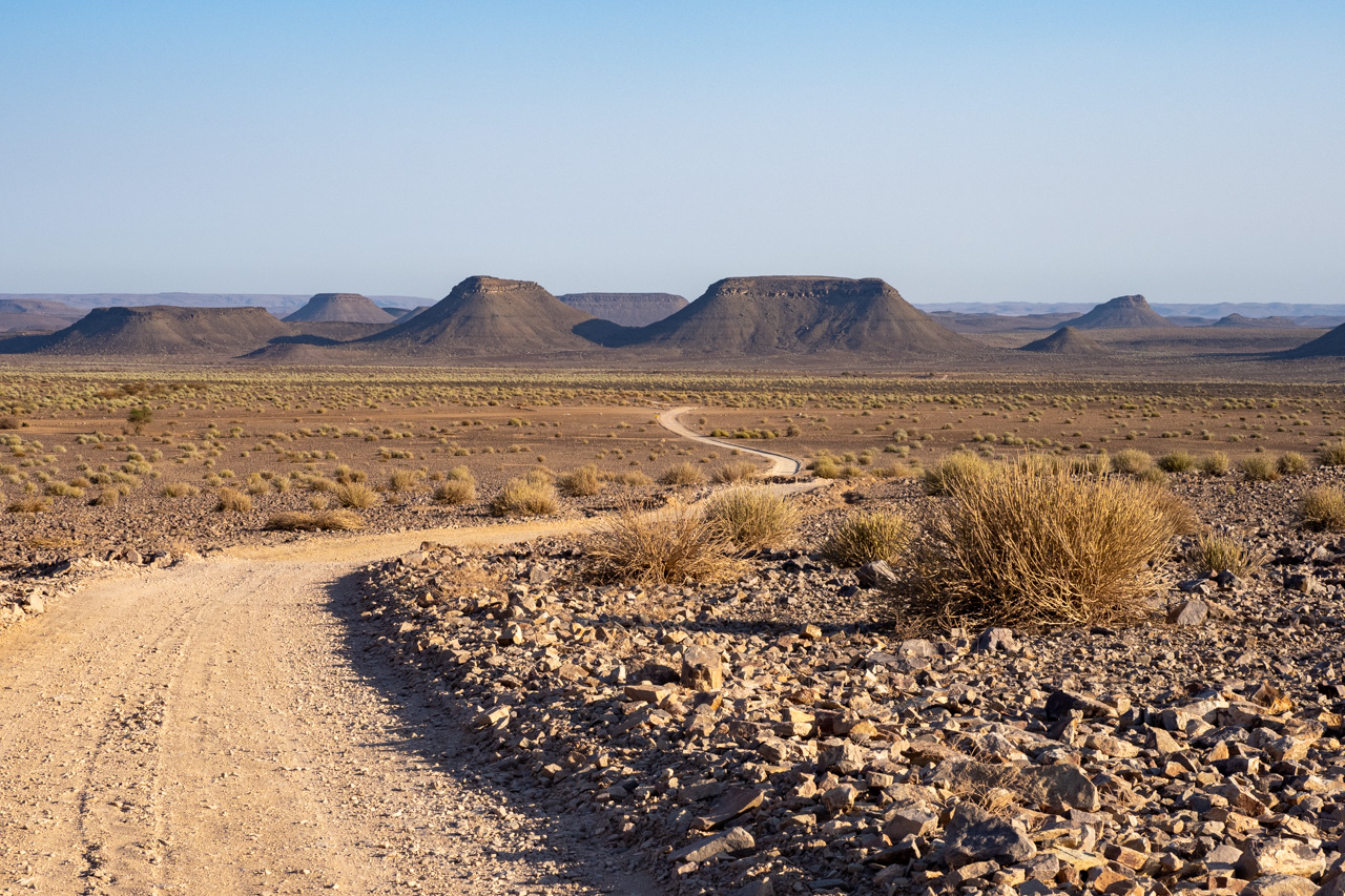
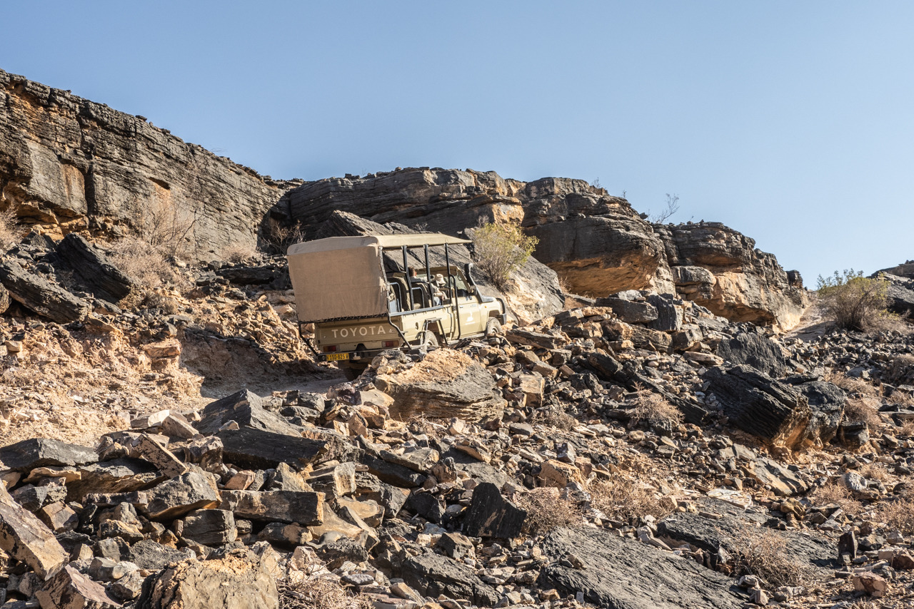
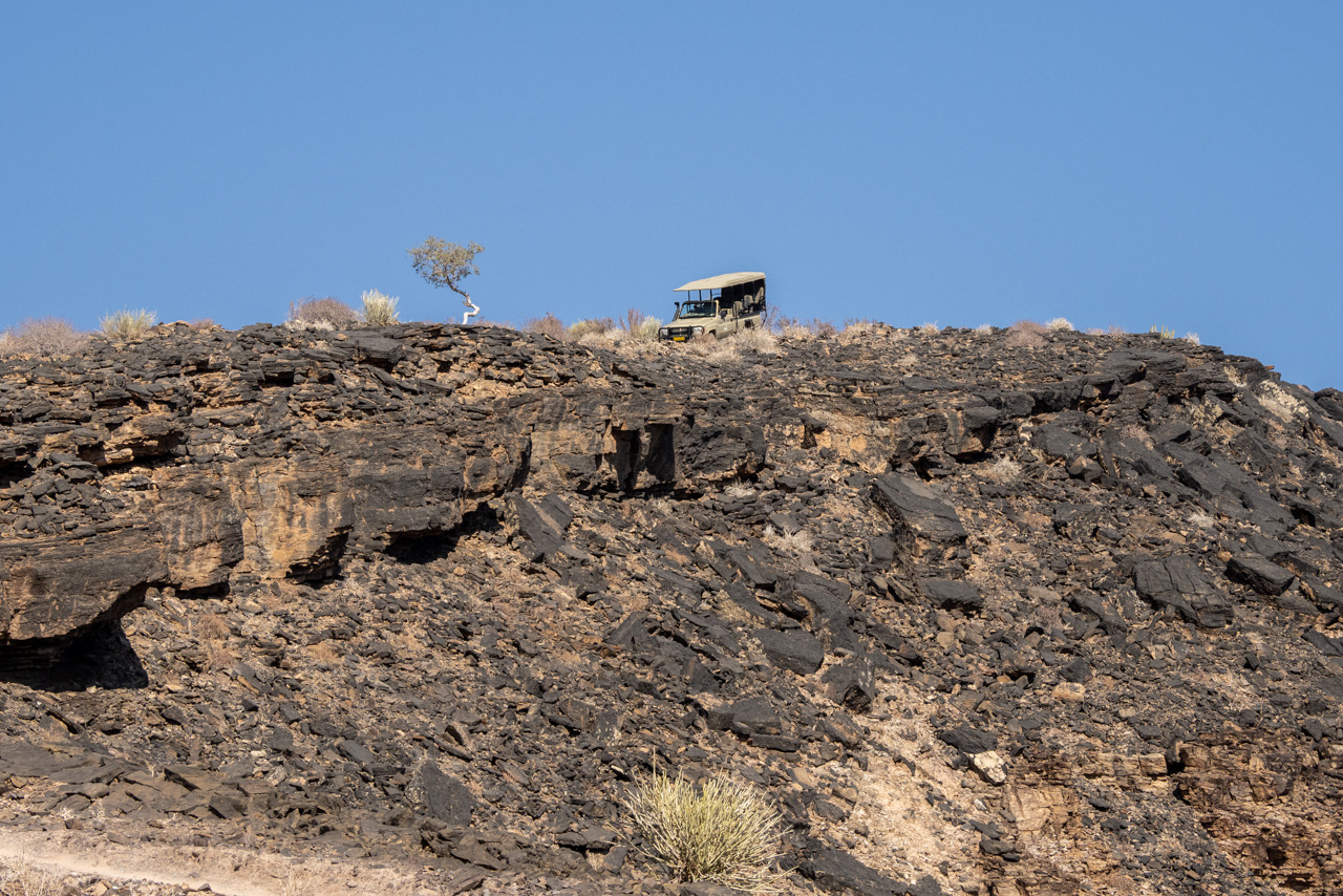
The canyon can be seen quite simply from above or explored while on excursions offered by the lodges. Multi-day trekking is also an option, but only during the winter months, as the Fish River Canyon can reach temperatures of up to 50°C, which makes walking rather difficult.
At over 650 km long, the Fish River is the longest in Namibia. Its source lies east in the Naukluft Mountains, and it flows southwards until blocked by the Hardap Dam at Mariental. The river only flows through the canyon during the wet season; it dries out entirely during the winter months. Luckily, there are places along its length where groundwater breaks through to the surface, providing a lifeline for the animals that live here.
The canyon itself begins at Seeheim and ends at Ai-Ais. The Fish River continues further south before meeting the permanently flowing waters of the Orange River, which marks the border to South Africa. Surprisingly, the canyon wasn’t formed over millions of years by the constant flow of the river, but first and foremost by the collapsing of the earth’s crust, which can be deduced by the very broad valley floor.

Accommodation
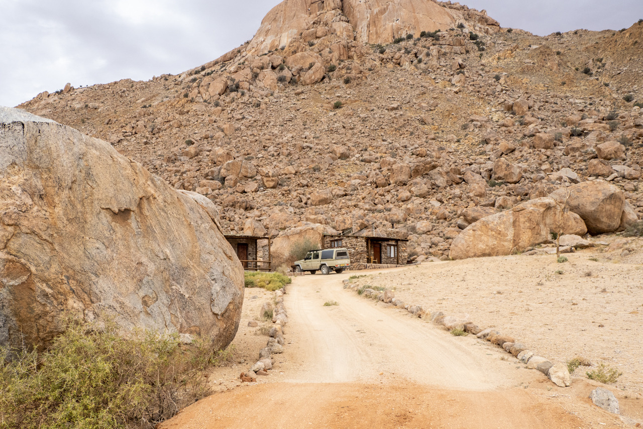
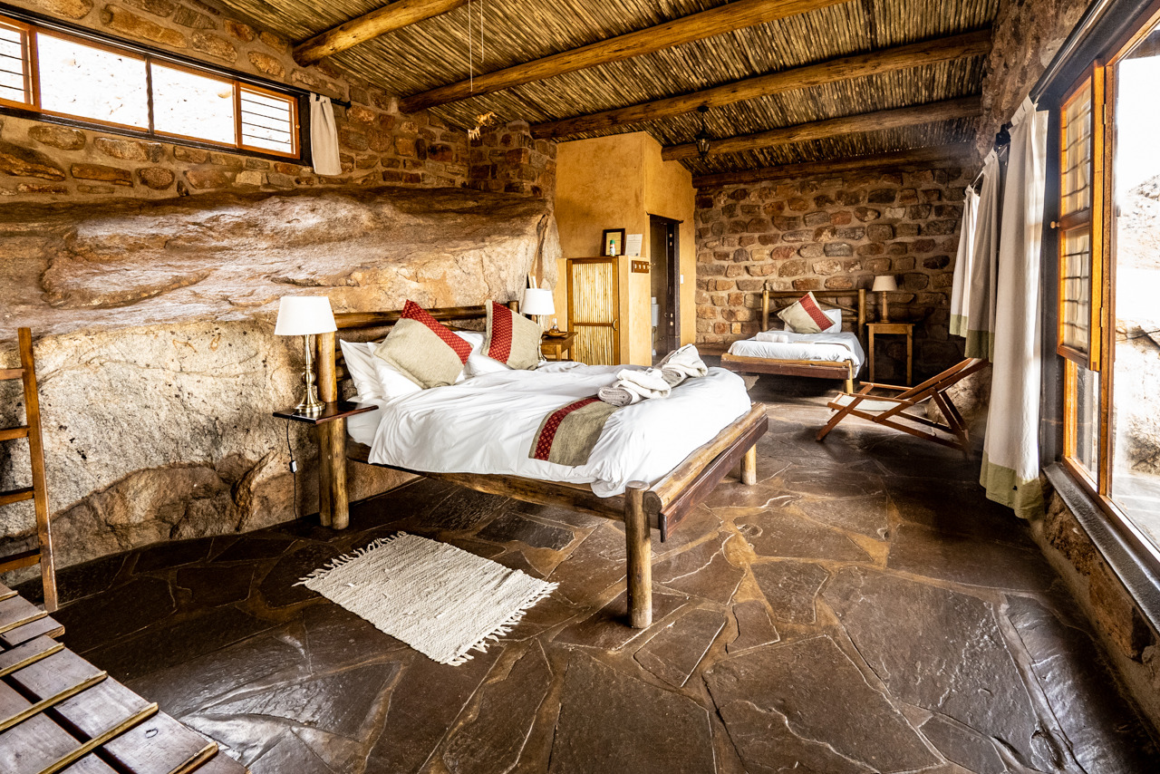
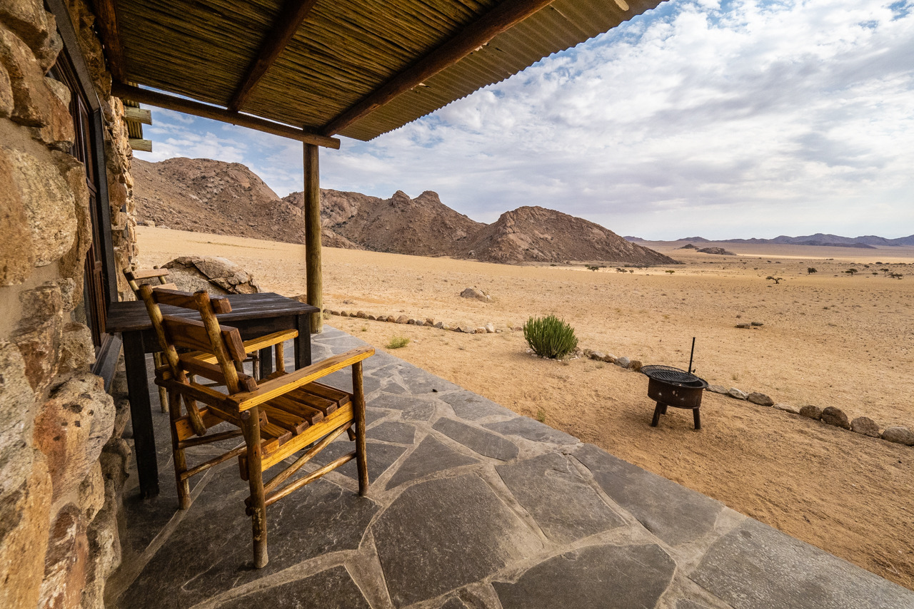
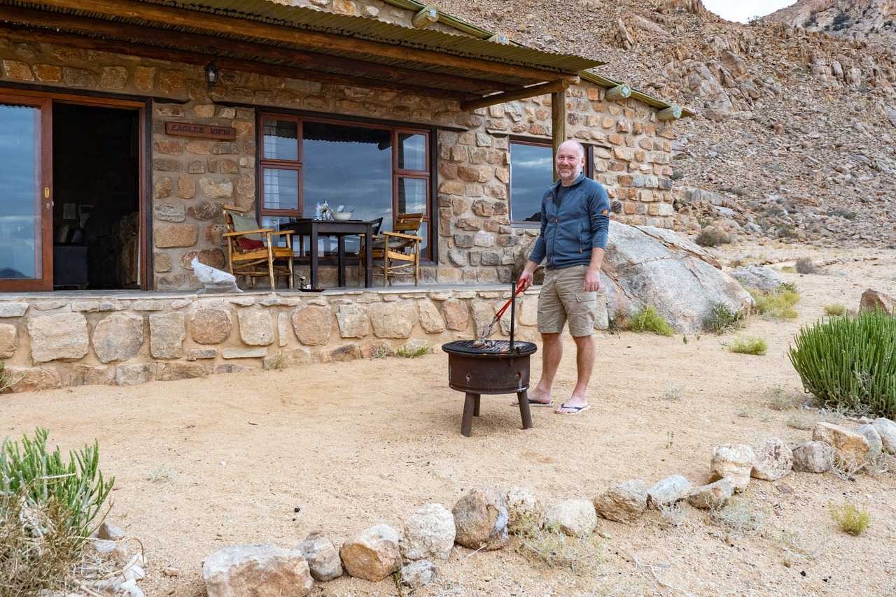
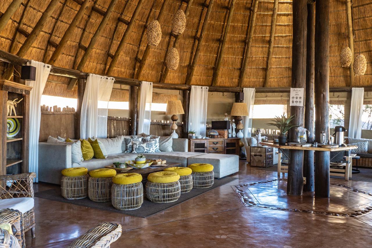
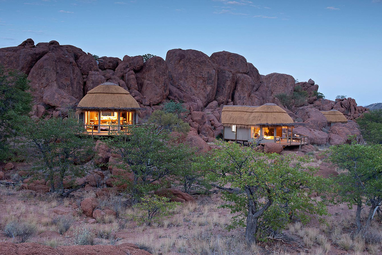
Eagle's Nest lies only ten minutes drive from Desert Horse Inn, on the other side of the hill. Is a collection of seven rustic yet imaginatively constructed bungalows spread over a mountain slope and built to blend seamlessly with the landscape. In front of the chalets stretches a wide, beautiful plain which is only intersected by the Lüderitz - Aus railway line. With a bit of luck, a train will creep past, carrying mostly raw materials to the port of Lüderitz. Otherwise, this is an absolutely quiet and lonely location.
The chalets vary in design and size, but all offer a bathroom with shower, a fireplace and a private veranda. Mountain View, Bungalow 1 & 2, The Cave, The Wall are relatively close to each other, The Rock just some distance further up the hill. The Boulders (a chalet with two separate en-suite bedrooms and a shared lounge), Desert Vista and at the very end the Eagle's View (Triple) follow at a relatively large distance.
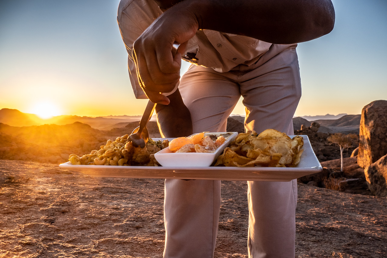
There is no restaurant at Eagle's Nest. The chalets have a kitchenette and a barbecue grill so everybody can prepare his own food. We recommend that you order a barbecue dinner at the Desert Horse Inn, which is then lovingly prepared in a picnic basket to take along. In the evening all you have to do is put the potatoes and meat on the grill and enjoy your dinner. This option is also available for breakfast. Alternatively, you can drive to the Desert Horse Inn for dinner (10 minutes drive).
On arrival at the Desert Horse Inn, please report to the reception desk where you will receive the key to the chalet and directions.
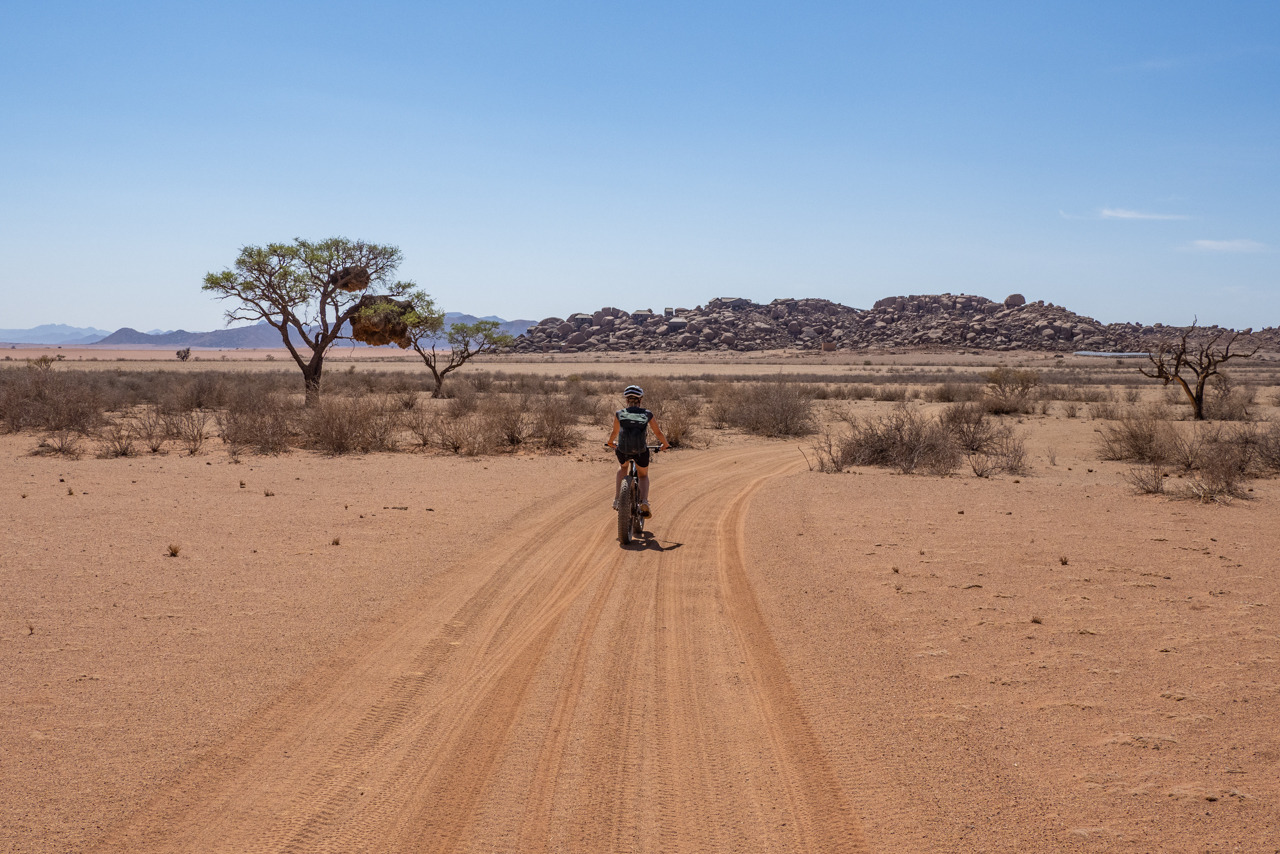
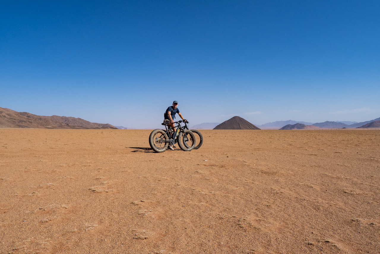
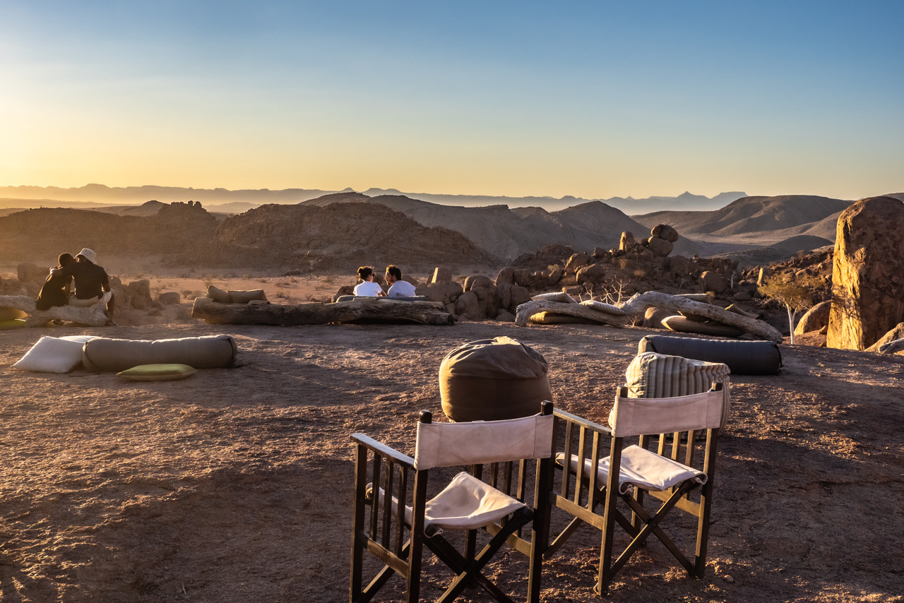
The Desert Horse Inn owns a very beautiful, private area (51,000 hectares, called Gondwana Sperrgebiet Rand Park) which includes rocky outcrops, hidden valleys and wide meadows. It is just the perfect location for hiking or mountain biking.
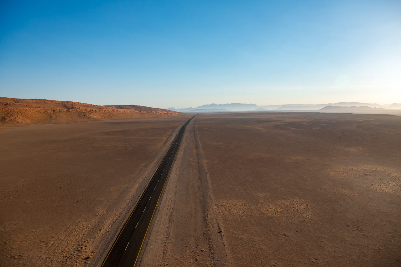
Klein Aus Vista is a hub for travellers en-route from Fish River Canyon to the North, and a perfect base for visiting the Tiras Mountains. The D707 is considered one of the most beautiful roads in Namibia and if you have time, you should allow yourself this little diversion. The road basically runs between the last red sand dunes of the Namib Desert and the Tiras rock range - a beautiful spot of lonely nature.
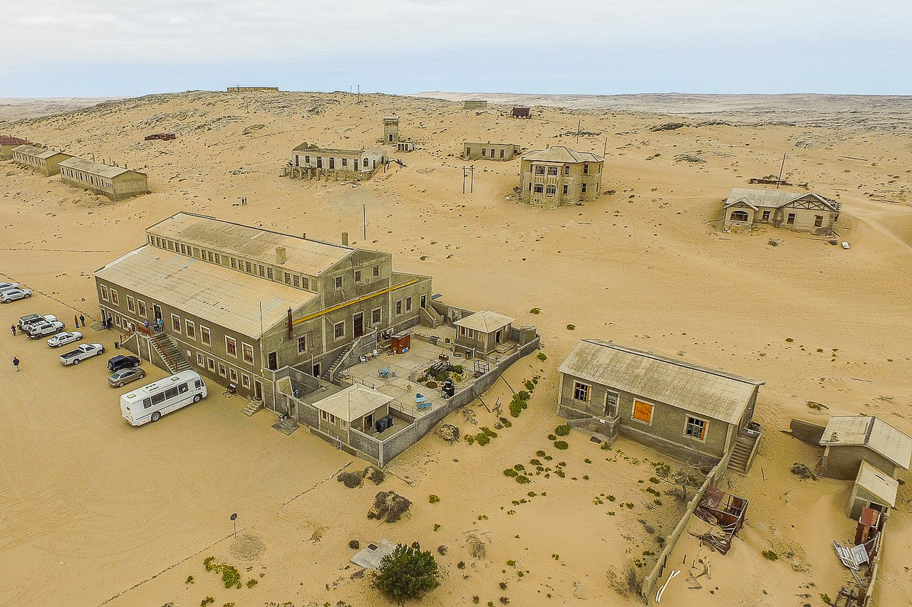
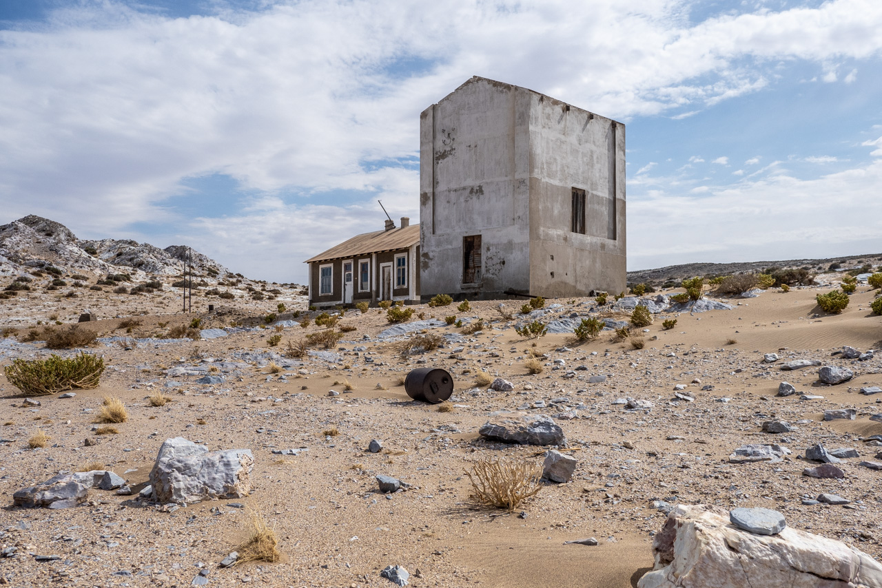
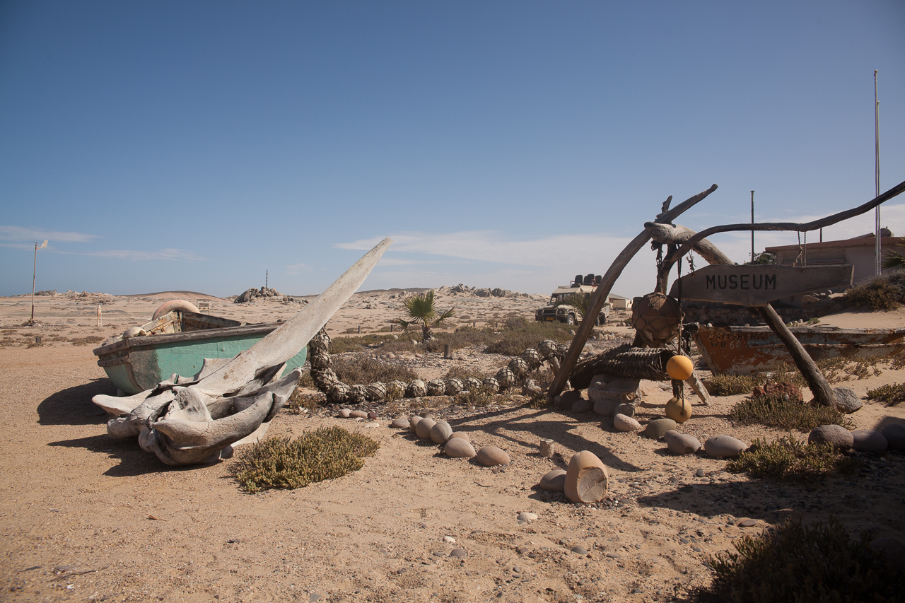
Lüderitz is a natural harbour – something of a rarity along the Namibian coast – but is still not suitable for large modern ships, which usually dock at Walvis Bay. Lüderitz experienced a boom when diamonds were discovered at nearby Kolmanskop in 1909, but these times are long gone, and Lüderitz is now battling to be remembered.
The discovery of diamonds at Kolmanskop saw the area boom. The town became one of the richest in Africa, and its approximately 400 residents were not afraid to spend their money.
Stately houses in the German architectural style, broad streets and the first x-ray station in the southern hemisphere all bore witness to the wealth of the people living here. They even built a swimming pool – despite the fact that town’s water was brought in from Cape Town some 1000 km away. The euphoria didn’t last long, however, and diamond mining ceased just 40 years later, when the residents left their town to the desert.
A railway line leads from Lüderitz via Kolmanskop to Aus, a small town some 120 km inland. Around 200 Namibian wild horses whose origin is not really known live close to Aus. It is thought that horses got lost in the turmoil of war. As large areas around Lüderitz were declared restricted zones due to the diamond mining, this allowed them to remain here and thrive undisturbed. The horses like to visit the watering hole at Garub, about 20 km west of Aus, where visitors can observe them from a hideout.


Accommodation
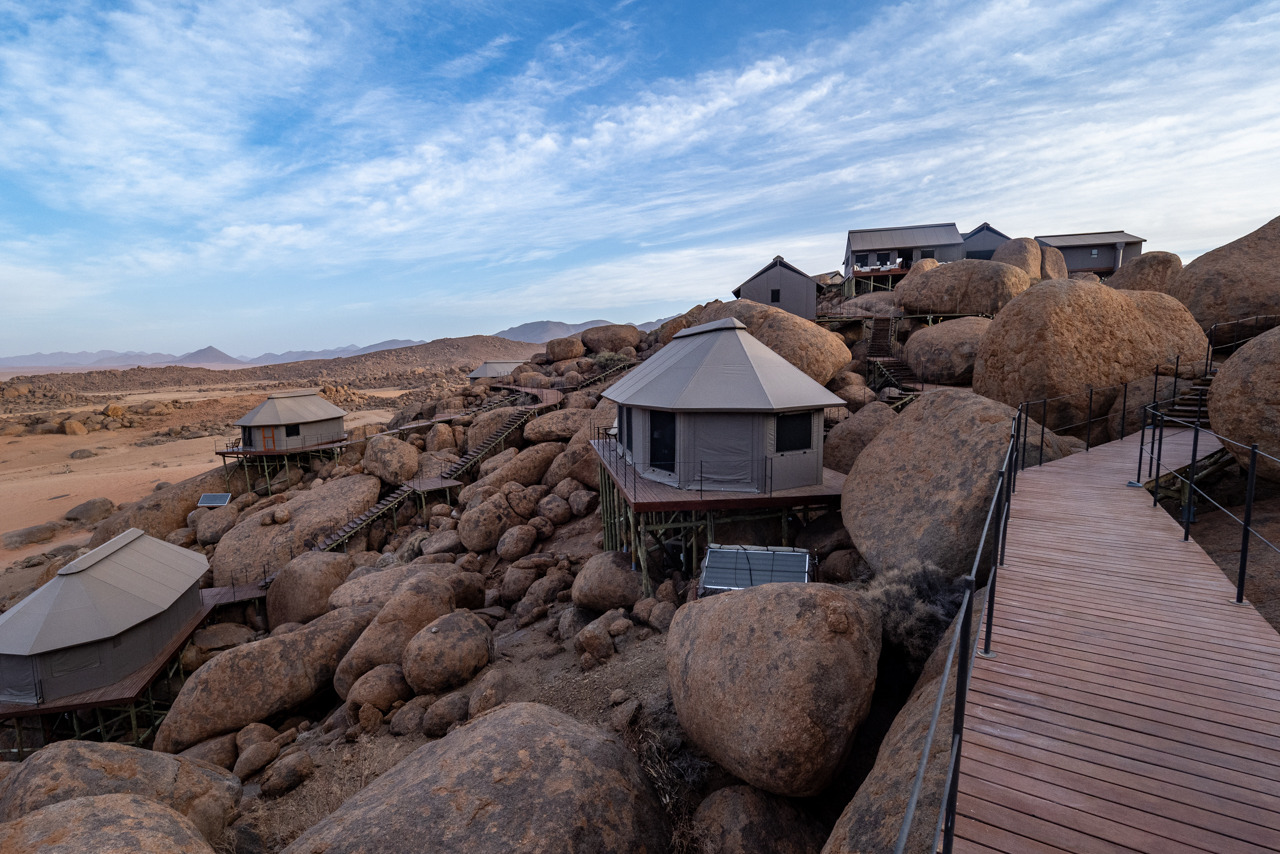
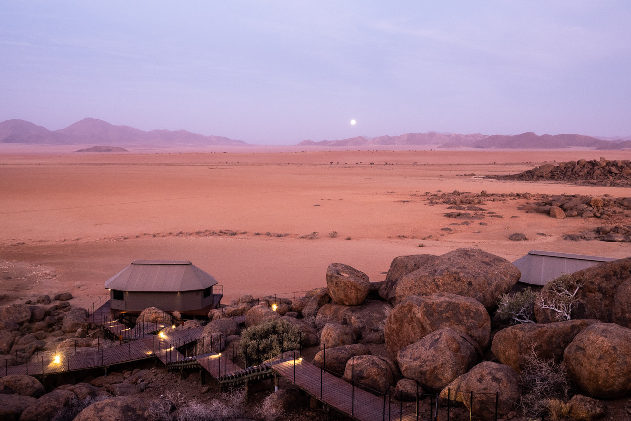
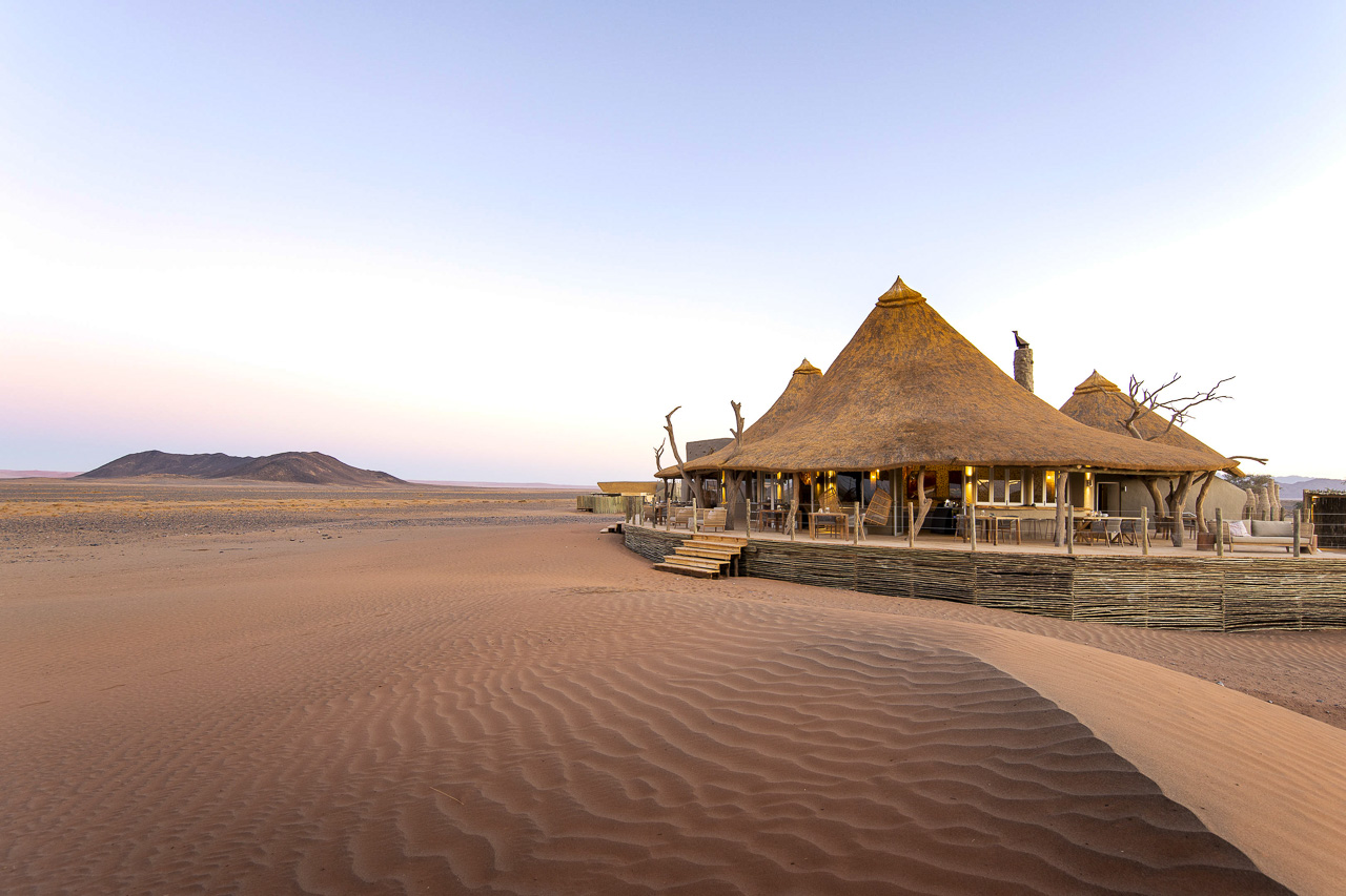
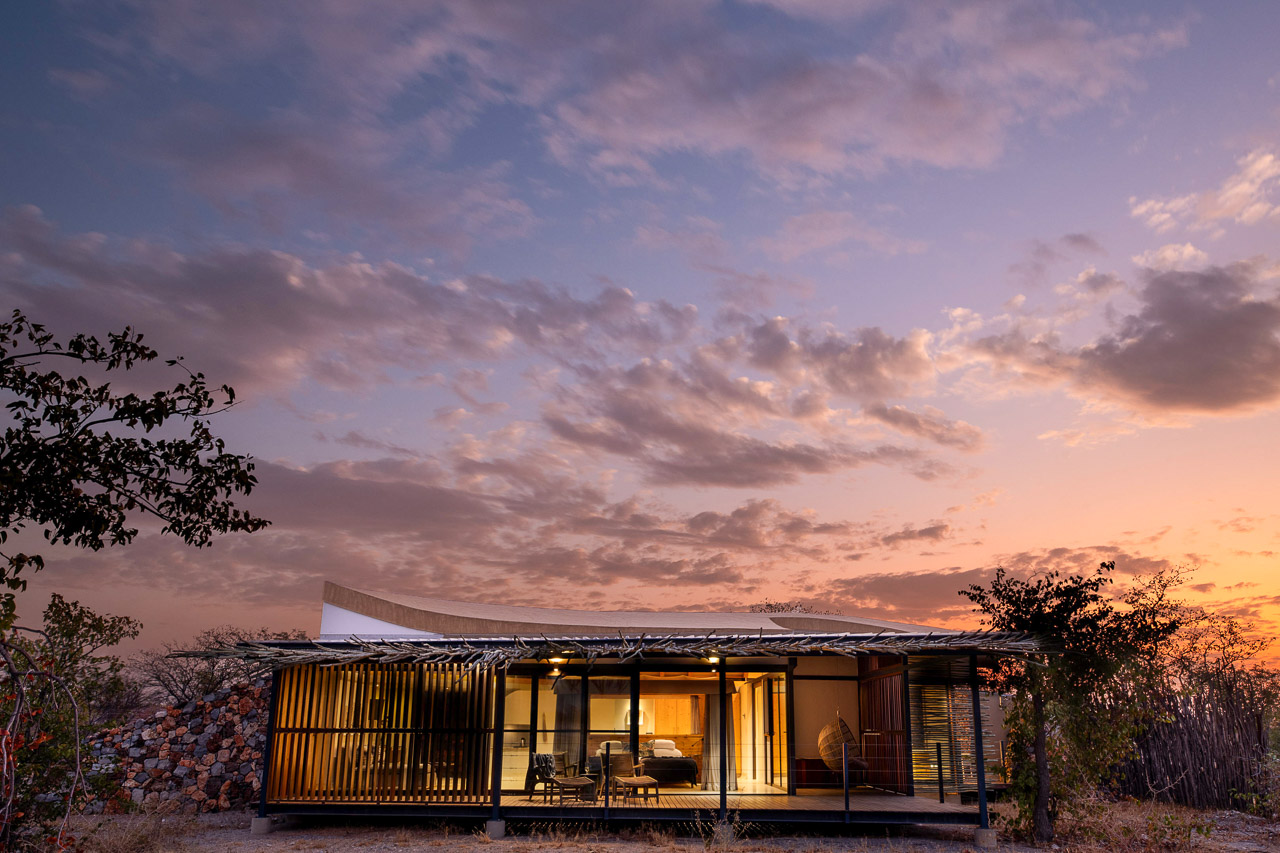
Zannier Sonop, which means «Sunrise», was built on a hill that consists mainly of large boulders. The ten comfortable, climate-controlled tents are nestled between these boulders and blend in seamlessly with their surroundings. All rooms offer magnificent views over vast plains. The rooms have en-suite bathrooms with bath/shower and double lavado, mini-bar, tea/coffee station and Wifi. Two of the tents are family rooms with two en-suite bedrooms and a shared lounge. The interior is hand-selected, of very good quality and reflects the pioneering style of the old explorers.
The elevated position of the lodge results in a bit of climbing on staircases. The beautiful pool area for example is located at the foot of the hill and you need some stamina to get down and up again, but it is worth it. The spa/fitness room is right next door.
From the car park where guests arrive, you are driven up in an electric buggy on a steep wooden driveway to the main building that sits at the very top. After check-in at the reception you have the possibility to eat in the restaurant or enjoy the view from the lounge. In the evening, the team lights a fire and many small lights along the walkways point the way to your comfortable room.
Zannier Sonop borders the NamibRand reserve to the south. The lodge is reached via the D707, which is considered one of the most beautiful roads in Namibia. The road basically runs between the last red sand dunes of the Namib Desert and the Tiras mountain range - a beautifully wild and lonely spot in Namibia. The entrance to the lodge is about 6km from the turnoff D707/C13, about one hour south of Wolwedans Boulders. The drive from Aus to the D707 junction takes about 45 minutes, from there another two hours on the D7070 to the Sonop.
The lodge has a private airstrip with a reception building. All vehicles have to be parked here. A lodge's vehicle will transfer you to the lodge. The drive to the Sonop takes about 10 minutes.

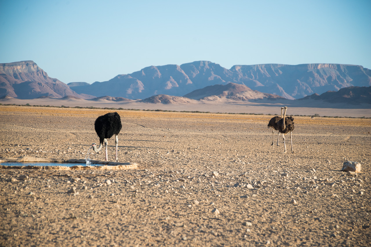
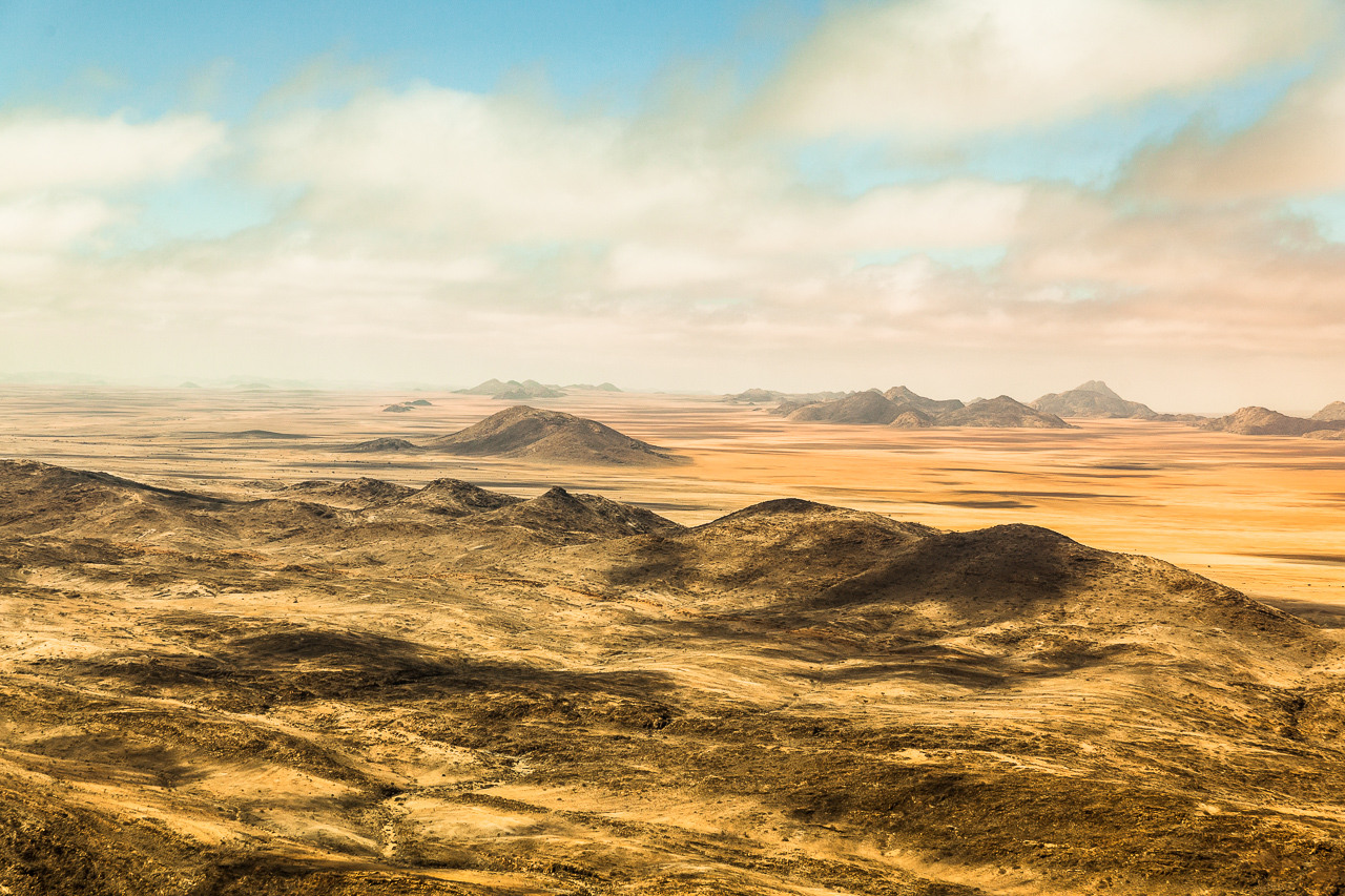
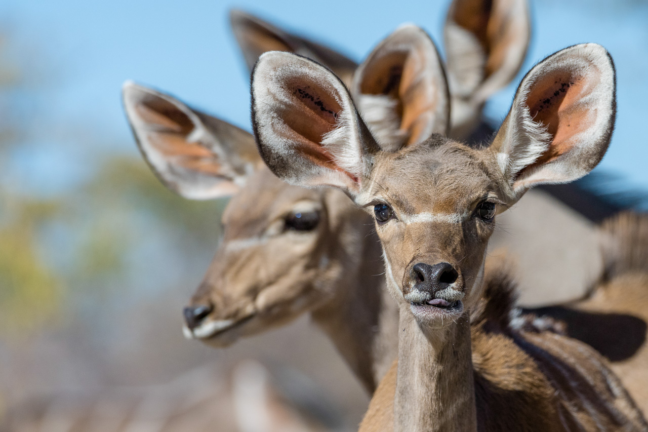
Established in 1984 by the Brückner family, the reserve currently encompasses more than 200’000 hectares of land. The NamibRand is situated some 2 hours by car south of Sesriem and abuts the Namib Naukluft Park to the west and the Nubib Mountains to the east. Its diverse landscape includes red sand dunes, vast meadows, mountains and valleys supporting several species of animal, including zebra, oryx, springbok, kudu, giraffe and cheetah.
The west of the reserve is dominated by the bush-covered dune fields of the Namib, and the east by granite cliffs and the Nubib Mountains. It is different from the Sossusvlei and its high sand dunes, so combining the two areas offers visitors a truly comprehensive insight into the Namib region.
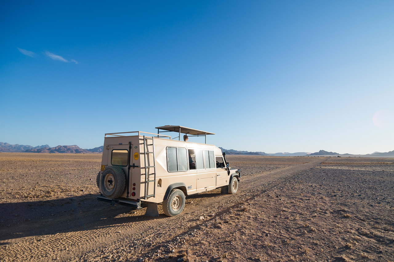
All Namib Rand lodges offer scenic drives and the guides are more than happy to explaind the flora and fauna of the Namib to their guests. The guides will also encourage guests to leave the vehicle and explore the Namib on foot as well. As there are only few camps in the area, excursions in the NamibRand Nature Reserve are always very private and exclusive.

Accommodation
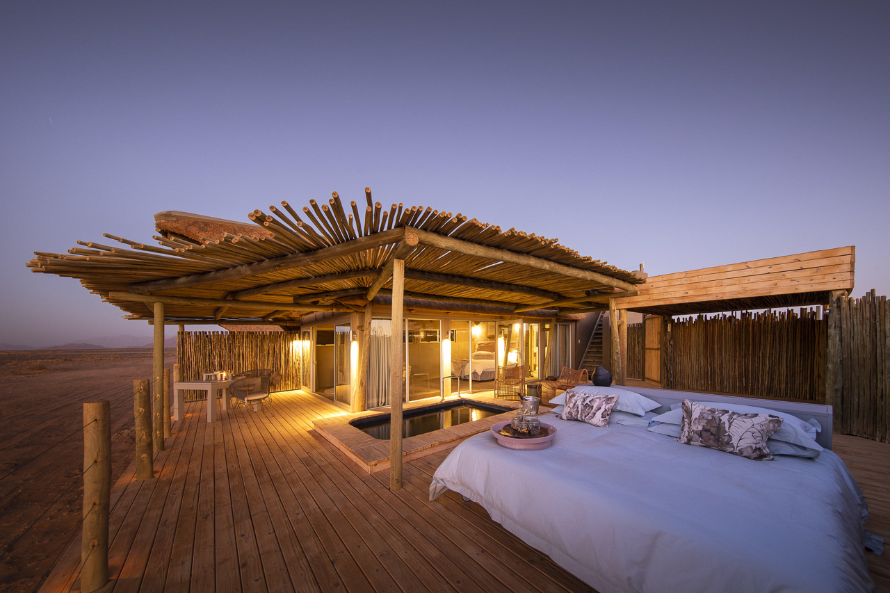
Little Kulala offers eleven climate-controlled rooms (it's very hot in the Namib region from November onwards!) with en-suite facilities, extra outdoor shower, private plunge pool, veranda with outdoor lounge, and a skybed where guests can spend a romantic night under the clear, starry sky.
The camp places great emphasis on natural materials, and the colours of the linen, cotton and mohair fabrics blend seamlessly into the natural surroundings. The Kulala Camps stand out for their fantastic location close to the Sossuvlei dunes and with exclusive access to the park.
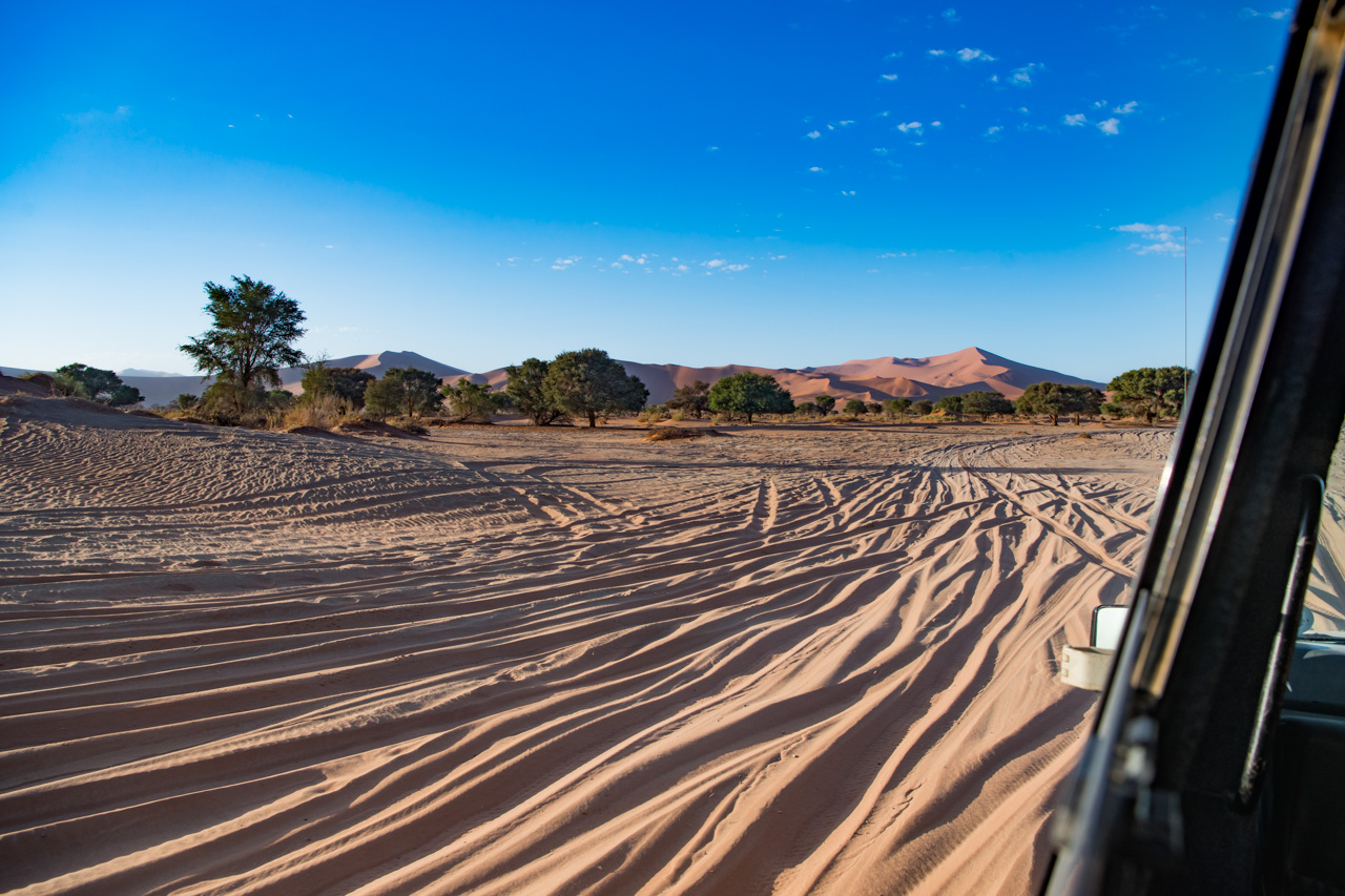
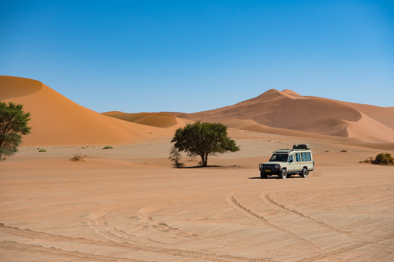
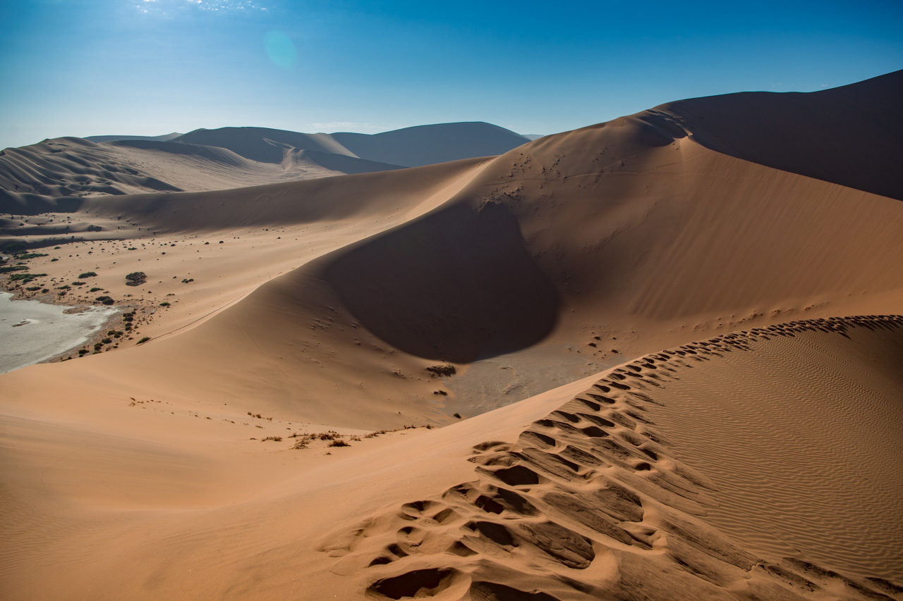
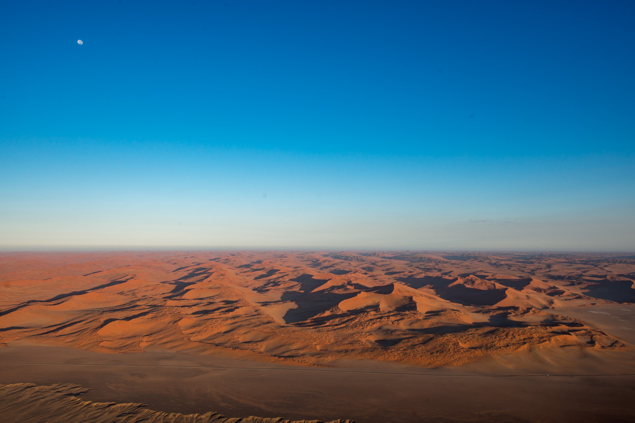
Sossusvlei is the area most associated with Namibia: Red dunes as far as the eye can see (up to 380 m high, coloured red by the clay-rich sand) and dead trees in the Vleis or pans, decaying slowly at the will of the arid climate. The Vleis were created by the Tsauchab River, which probably once flowed to the Atlantic some 50 km away. The whole Sossusvlei region is quenched with water during those very rare years when a good amount of rain falls, prompting bushes and flowers to spring up everywhere.
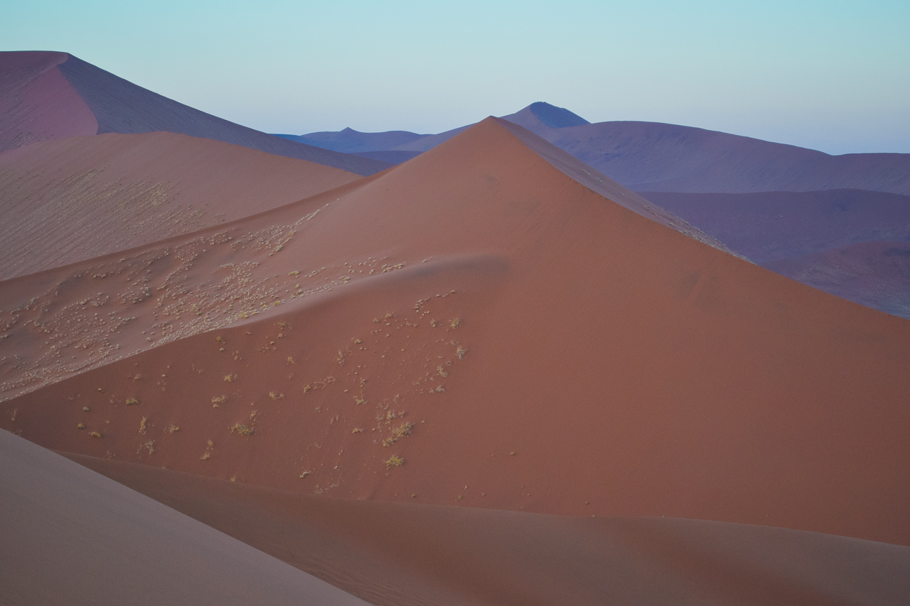
Sossusvlei is also the place most commonly associated with Namibia. Its red dunes stretch as far as the eye can see (up to 380 m high, coloured red by the clay-rich sand) and the desiccated trees in the vleis (salt and clay pans), which decay slowly due to the arid environment, are typical of the region. The vleis were created by the Tsauchab River, which most probably flowed into the Atlantic 50 km away. Very rarely, a torrential downpour will see the vleis disappear under water – a spectacle that very few get to see. .
The Namib itself is a product of the Orange River in the south, which carries the red sand of the Kalahari to the ocean. The Benguela Current takes the sand north, where the prevailing winds have blown it back inland over millions of years, forming the Namib Desert.
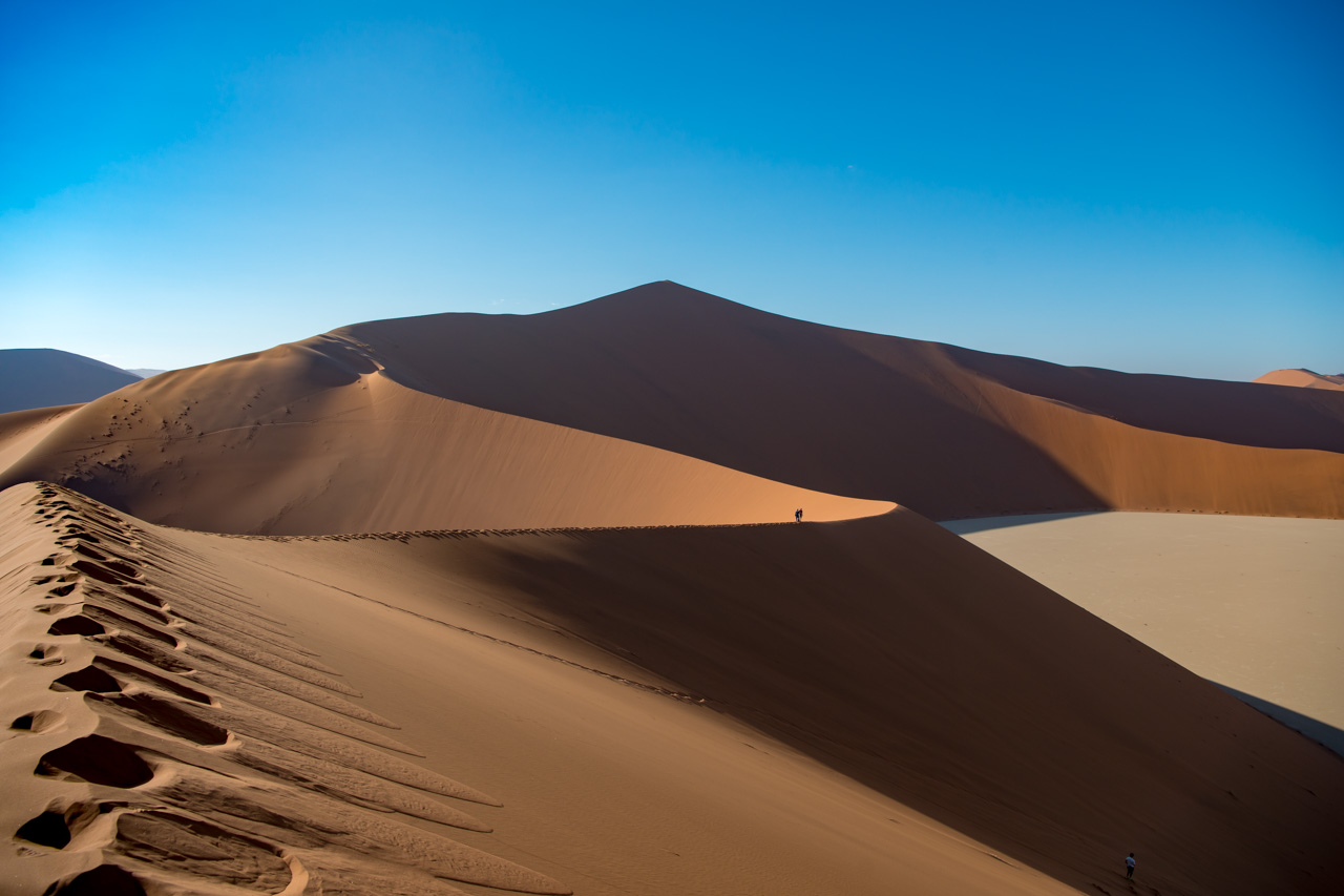
Sossusvlei is situated in the Namib Naukluft Park and thus subject to very strict regulations. The park opens its gates at sunrise and all visitors are required to leave again by sunset. The distance between the park entrance and the Sossusvlei car park, however, is a good 60 km, most of which is tarred. From here it’s only possible to reach the second car park, right next to the Sossusvlei, in a 4x4, on foot or using the shuttle service. There are also other vleis in the area in addition to the Sossusvlei, including Dead Vlei, with its famous dead trees, and somewhat further away, the so-called Hidden Vlei, which requires a good trek to get to.
The most famous dunes are Dune 45 (170 m high), which is located 45 km from the entrance to Sossusvlei, and then Big Daddy, the largest dune, and his partner, Big Mama. Visitors are of course allowed to scale the dunes, and the effort is worth it. The way up is quite strenuous – but this also means that the way down is easy!


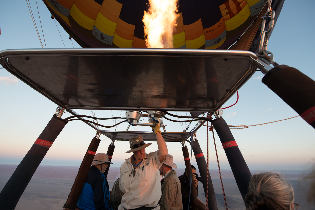
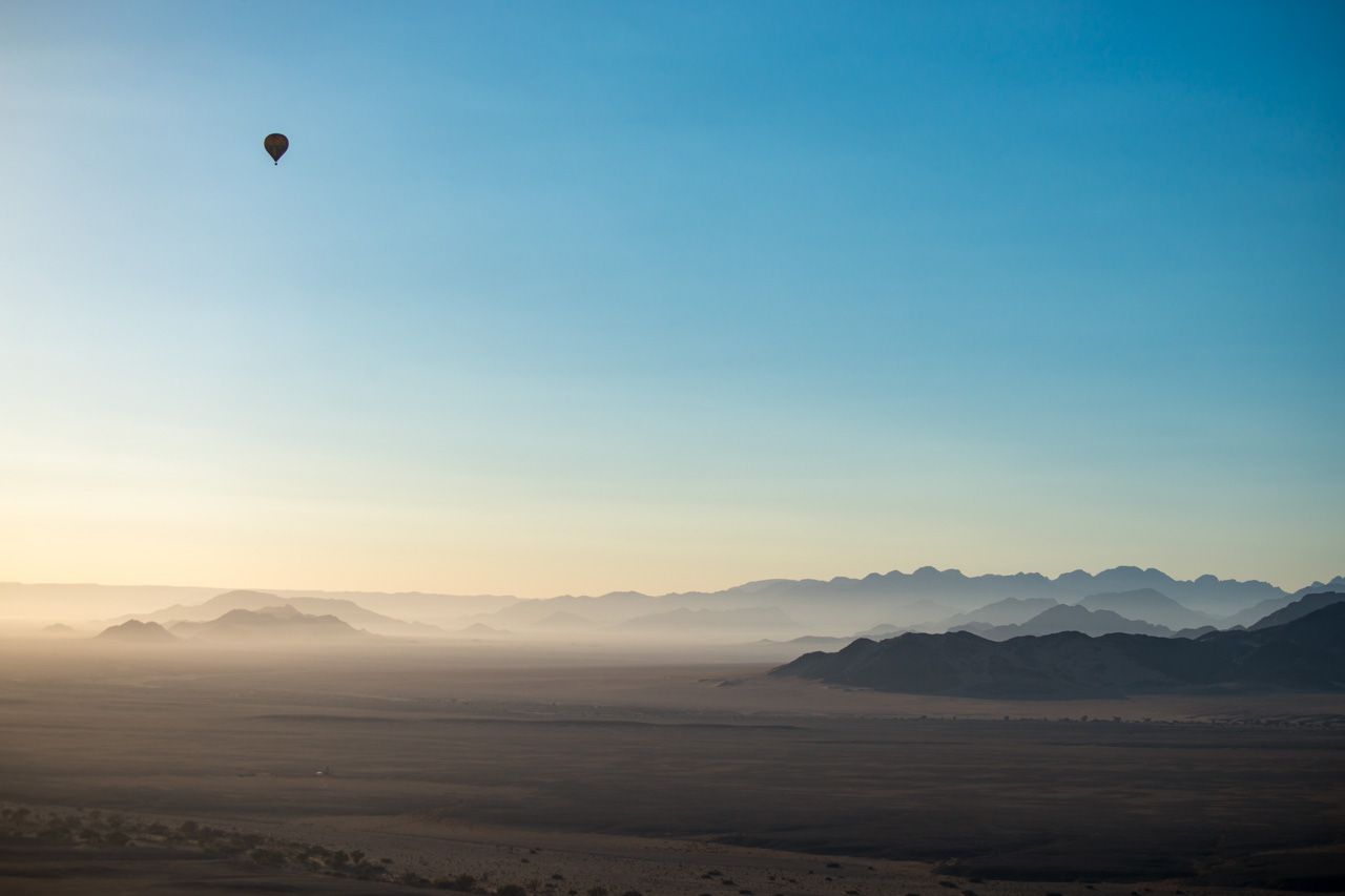
On landing (wherever the wind has taken you) there is a champagne breakfast waiting for you.

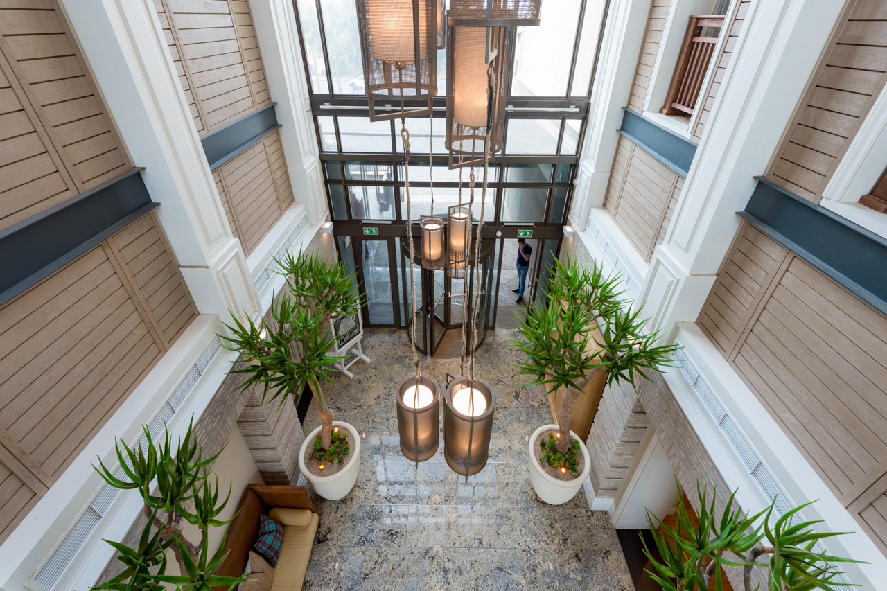
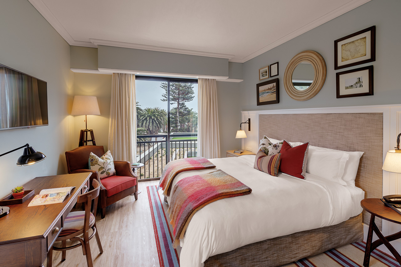
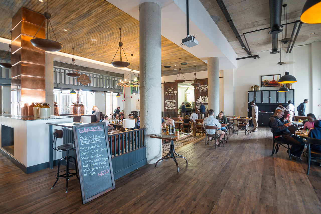
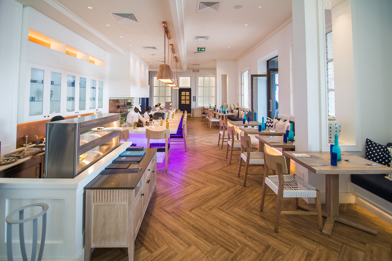
Accommodation The new Strand Hotel has set a new standard in Swakopmund. Uniquely located on the iconic and historic Swakopmund Mole and surrounded on three sides by the Southern Atlantic Ocean its 125 rooms and suites make this hotel one of the larger ones in town, but of those certainly the one with the best seaside location. All rooms have tea & coffee stations, mini-bars, hair-dryers, TV’s, free Wi-Fi Internet access, telephones and air-conditioning.
The Strand Hotel offers its residential guests and all casual visitors three exciting restaurants. The Farmhouse Deli is good for coffee, cake, sandwiches and fresh salads. The Brewer & Butcher welcomes beer and meat lovers. The Ocean Cellar caters for guests who prefer seafood, sushi, oyster and a glass of fine white wine.
The Strand Hotel is destined to become the social epicenter of Swakopmund for locals and tourists alike.
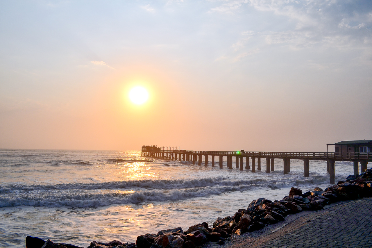
Swakopmund was the centre of German colonial rule, and relics of this chapter of its history can be found around every corner. Most noticeable of these is the long jetty, which stands witness to the German’s activities in this area and their attempt to create a usable port. Unfortunately, Swakopmund turned out to be wholly unsuitable for the task. Walvis Bay is a natural bay just 30 km south. It was occupied by the English as early as 1795, and later became a fish-processing industrial town under South African rule.
Swakopmund is charming. The old part of town is very pretty and offers several cafes, bakeries and, of course, the unavoidable beer houses. Time appears to have stood still in many parts, and it’s difficult not to keep rubbing your eyes in wonderment at the mix of German and African.
There’s a lot to do if you stay at Swakopmund: take a day trip southwards along the coast to Sandwich Harbour, hop on a boat at Walvis Bay and wait for the seals and pelicans to greet you, Kayak with seals, jump on a quad bike for a ride through the dunes, or just take a stroll along the beach and enjoy a tasty meal in one of the great restaurants. Swakopmund’s most famous landmark, the jetty, has been renovated and now boasts the appropriately named ‘Jetty 1905’ restaurant at its end.
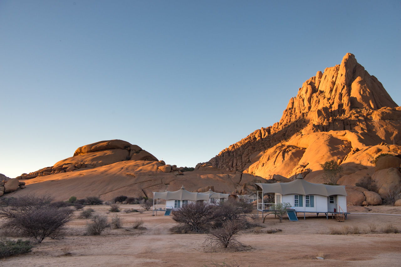
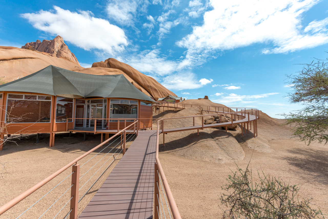
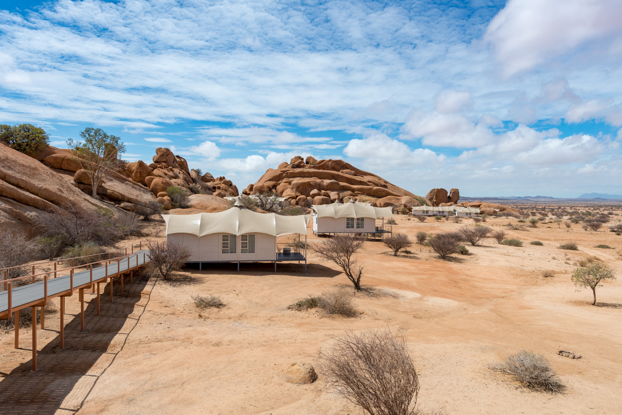
Accommodation Spitzkoppen Lodge comprises fifteen chalets with en-suite facilities and a comfortable veranda. The rooms are nestled between rounded boulders, blending seamlessly with their surroundings.
The main area is located a bit higher than the rooms and contains the dining area, a lounge and a bar. Behind the main area, with a beautiful view over the landscape, a natural pool offers a welcoming refreshment after the long hot days.
The rooms are connected to the main area by elevated walkways. If you are tired or just find the way to the rooms too far, a golfcart will be used for transport.
The lodge is hidden between the rocks and can be reached from the main road in about 20 minutes. From the main gate it is another three minutes to the reception and parking area.

Accommodation
Mowani Mountain Camp comprises 12 charming rooms with high thatched roofs and comfortable verandas. The dome-like main roof leaves a window to the sky above the beds, stargazing from the bed so to say. The rooms are nestled between rounded boulders and blend in seamlessly with their surroundings. The room categories are defined by the quality of the view - accordingly there are 4 Superior View Rooms (No 1-4) with sunset view, 3 View Rooms (No 5-7) with view into a hidden valley and 5 Standard View Rooms (No 8-12). Some of the rooms have been extended with a canopy, under which a dome tent is placed, accommodating two children. Alternatively, these beds can be added to the room if parents prefer.
Mowani also offers a Luxury Room, a Mini Suite and the Mountain Suite with butler service, lounge and private dining area. These three rooms are larger and offer more privacy than the other rooms, but only the Mountain Suite stands out with a truly magnificent view.
The central area includes a small rock swimming pool with great views, lounge, restaurant and an extra wifi lounge. In the evening most guests visit the rock-top viewing plateau to enjoy the sunset. The sundowner drink is added to the view upon request.
Just across the road lies Camp Kipwe, Mowani‘s sister camp.
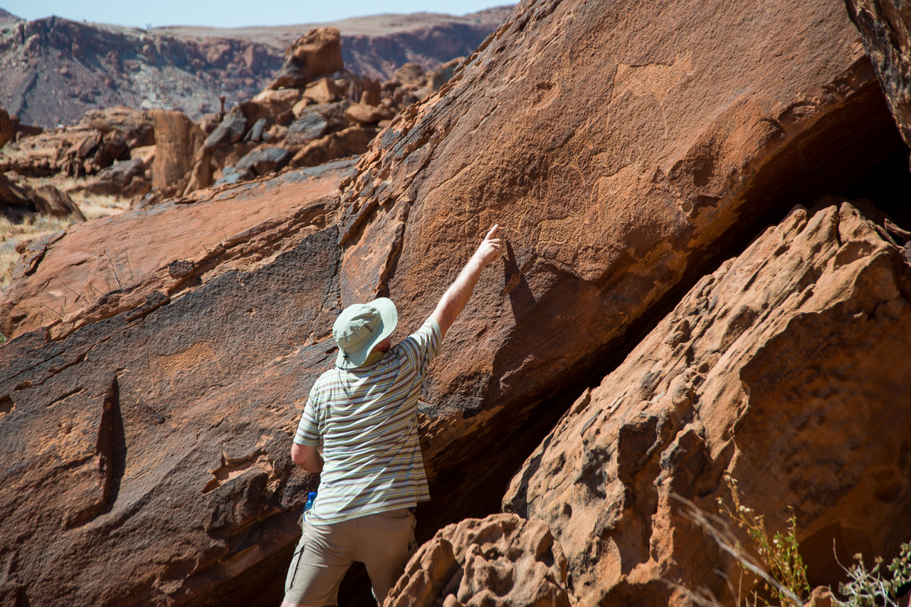
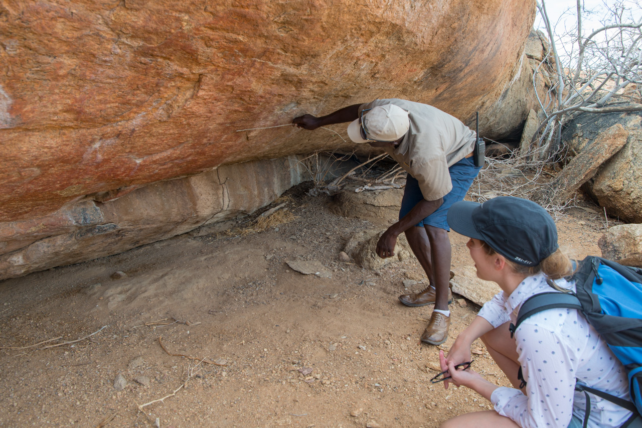
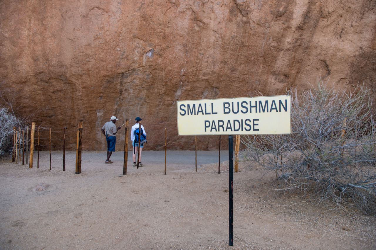
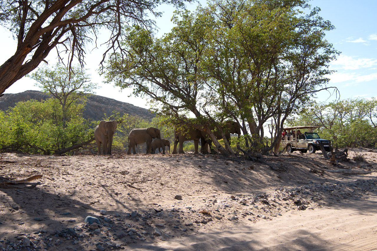
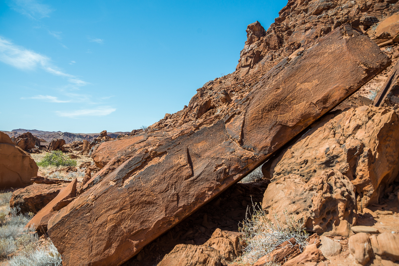
Twyfelfontein was declared a World Heritage Site in 2007 because of its significance as one of the most important sites of African rock engravings. The area is home to one of the few watering holes in the entire region, and one which the local farmers didn’t find particularly reliable: roughly translated, the name Twyfelfontein means ‘sometimes there’s water, sometime’s there isn’t’!
Today, some 40’000 guests from around the globe visit the rock engravings, which has made Twyfelfontein one of Namibia’s destination hotspots and therefore quite busy – visitors can’t expect to have the rock engravings all to themselves.
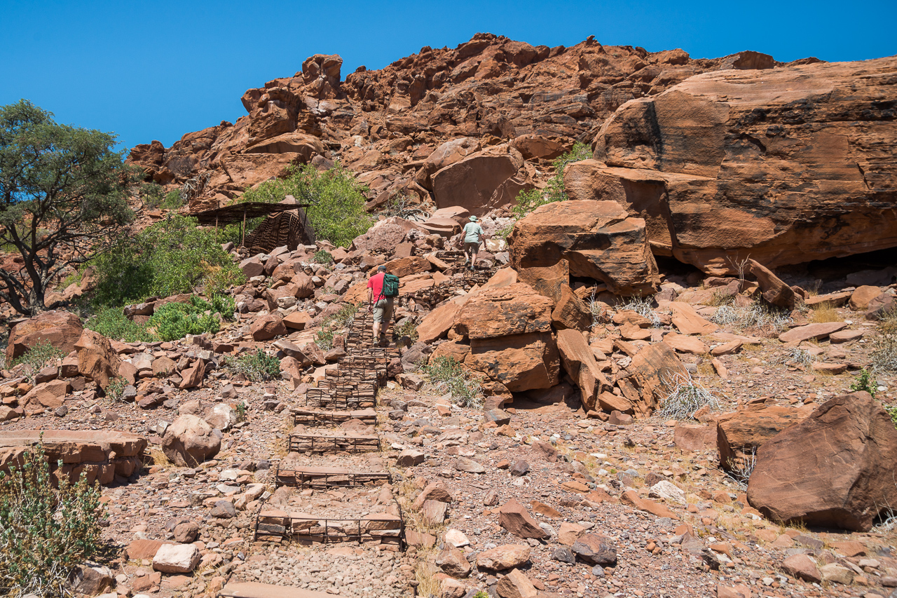
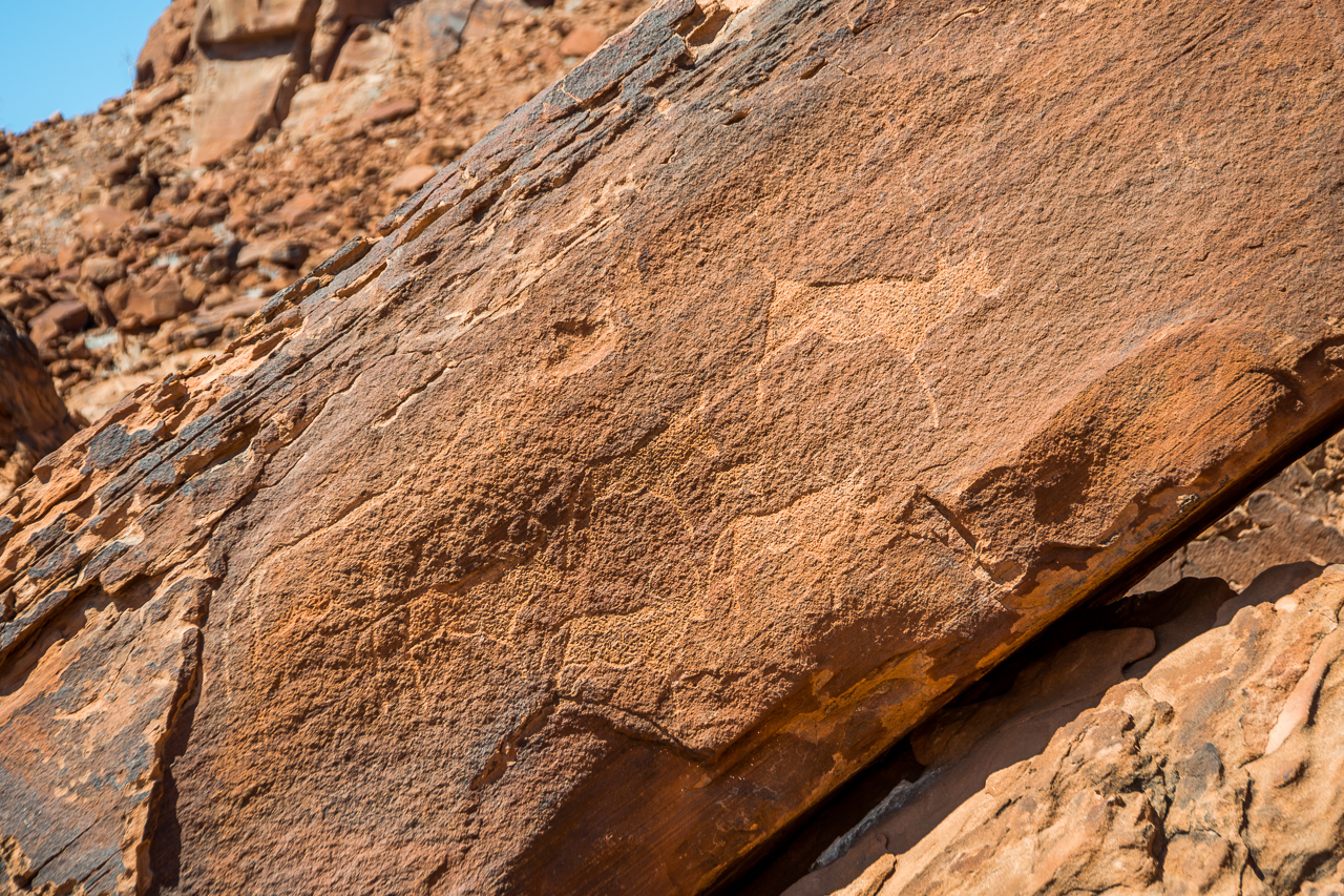
This region had been familiar to its ancient residents for a long time: they gathered close to the only source of water during the dry season, carried out their rituals, and drew and carved their experiences onto and into the slabs of rock around them. The naturally occurring iron oxide in the sandstone formed a protective layer (the so-called ‘desert varnish’) over the rock engravings. This layer has slowed down the weathering process and allowed us to admire these thousands-of-years-old works of art today. Many of the engravings depict hunting scenes with giraffe, antelope, zebra, ostrich, rhino, elephant and lion – and interestingly enough, also a seal! Humans are rarely depicted. The drawings are often surrounded by geometric patterns.
To avoid contamination and vandalism, guests may only visit the area with a guide, who will highlight the most famous motifs, including the lion with a kink in its tail and the dancing kudu. The tour takes about an hour for the first motifs, and a further hour if you wish to see the rest. It is best to visit in the early morning or late afternoon in order to avoid the worst of the heat.


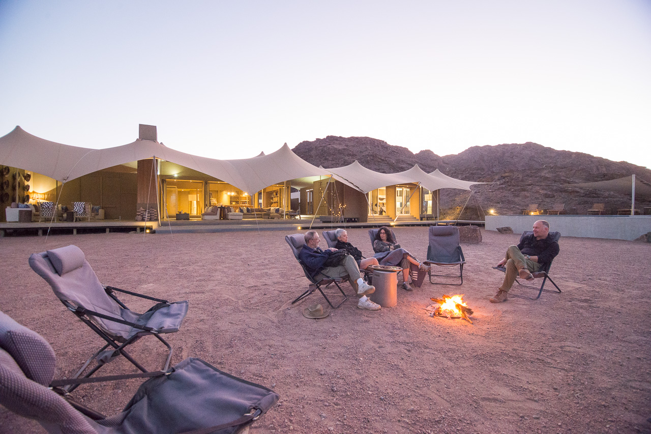
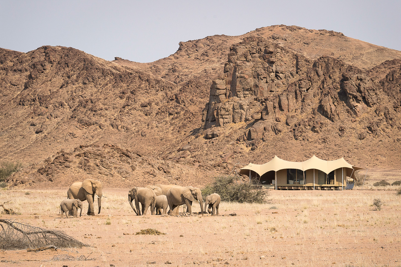
Accommodation The exclusive Hoanib Skeleton Coast camp compromises just eight twin-bedded tents and one family unit. The tents are raised on platforms and include a private shaded outdoor lounge.
The central part of the camp compromises a big tent with bar, lounge, library and dining area. A second lounge and the swimmingpool area are located on either side of the main building. The fire pit in front of camp is the meeting point for pre-dinner drinks and early breakfasts.
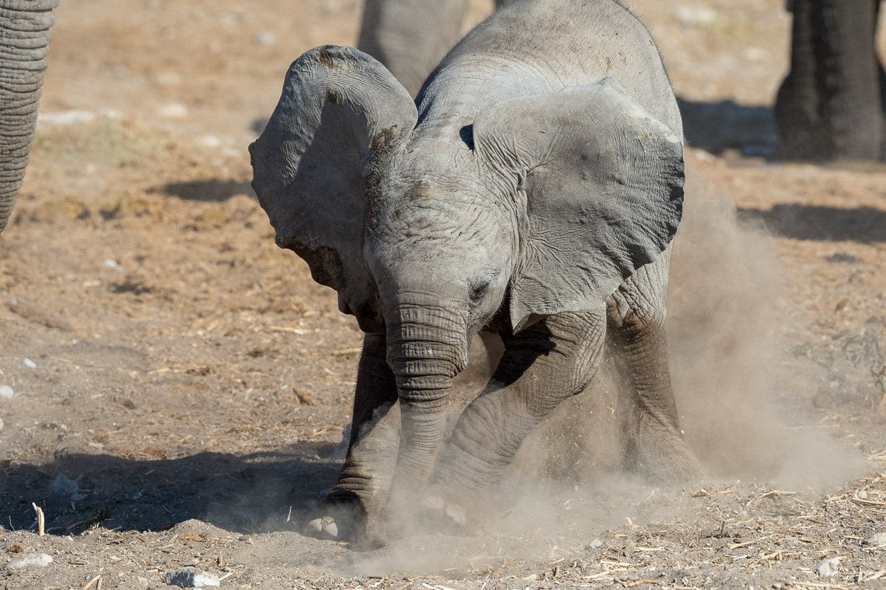
The camp has views north towards the Hoanib river and is flanked east and west by rugged hills. The camp looks out onto a small waterhole that is often visited by elephant, oryx and other mammals.
Hoanib Skeleton Coast Camp is located on a private concession available only to the guests of the lodge. This huge area includes the Hoanib riverbed and its banks from Amspoort down to the ocean. Only guests of Hoanib Skeleton Coast Camp are allowed to use this area on scenic drives and excursions.
The Hoanib river remains dry for most time of the year. However, once the first rains fall, usually not before November, the Hoanib can temporarily turn into a wild river.
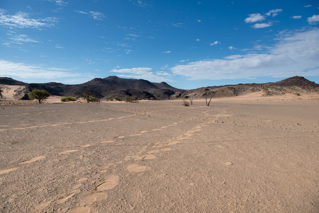
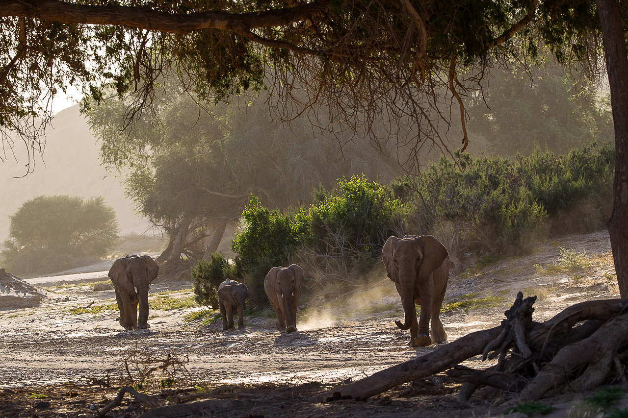
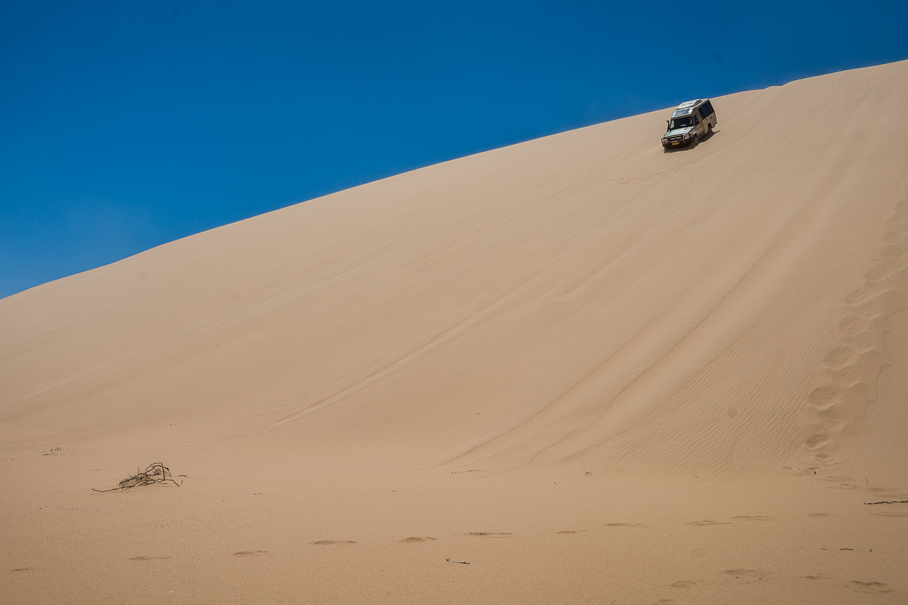
The Kaokoveld covers an area of around 50’000 km², and includes the region between the Hoanib River and the Kunene River, which marks the Angola border; the Skeleton Coast National Park marks the western border. There is little to no infrastructure here, which means the Kaokoveld is one of the few true wildernesses still in existence. The few people you’re likely to come across in this region are the semi-nomadic Himba, who have learned to survive in this sometimes extremely arid environment.
The western part of the Kaokoveld, from Sesfontein up to the Epupa Falls, is less interesting for us. We stick to little-known tracks in the hinterland and never travel on tarred roads in the Kaokoveld. Riverbeds are our roads and the starry sky is the roof above us.
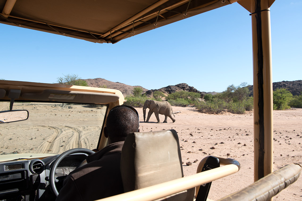
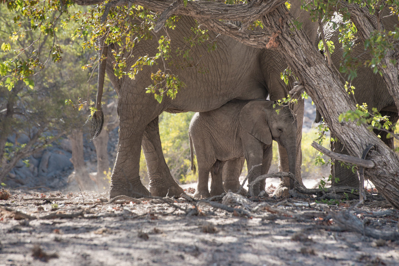
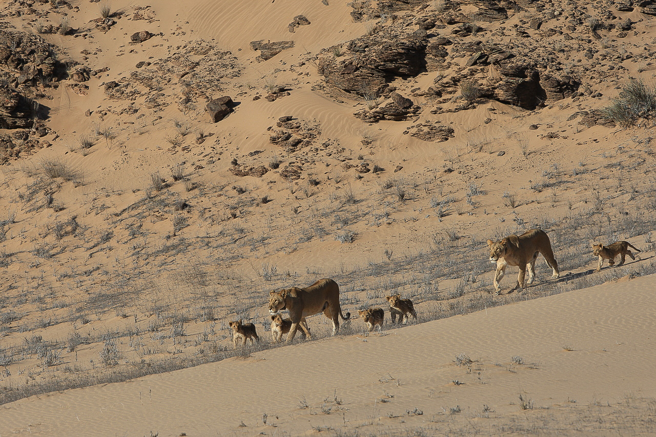
If you like a combination of camping in remote places and staying in beautiful lodges, then our Kaokoveld Expeditions are perfect for you. Not only is the landscape fascinating here, we also often come across desert elephant, giraffe, zebra, oryx and sometimes even lion and rhino. This is one trip you will never forget.

Accommodation
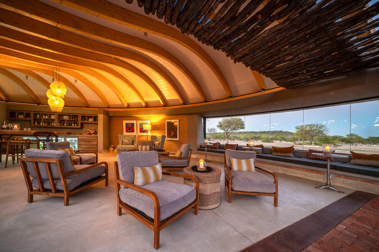
Andersson's Camp is situated in the private Ongava Reserve close to Etosha National Park. The camp offers a very private safari experience with only seven double rooms and one family room. All rooms have en-suite bathrooms, indoor and outdoor shower, air-conditioning and a private viewing deck with 180 degree panorama. The family room consits of two suites (each with it's own bathroom and entrance) that are linked by a short walkway.
The main building features great views of the waterhole in front of camp. Guests can watch the animals from the spacious and comfortable lounge. Should you wish to get even closer, a photographic hide not far from camp offers a water level view of the prolific wild and birdlife. There is also a library, a curio shop, a beautiful infinity pool and a photo lounge, where you can check your own photos and send them to friends (Wi-Fi available).
A highlight of Andersson's Camp is the Ongava Research Centre. Researchers and scientists have their working space here and you are invited to visit the exhibition area and attend the interactive presentations in the auditorium.
Ongava Tented Camp, Little Ongava and Ongava Lodge are also situated in the Ongava Game Reserve.
The Etosha National Park is one of the most important nature reserves in southern Africa. It exists since 1907 and covers an area of 22,270 km². The central and eastern sections consist mainly of various silvery-white shining salt pans, which have made Etosha famous. In the dry season the park, the animals and the vehicles are covered in a whitish haze of salt dust.
On the southern shore of the huge Etosha Pan (130 x 50 km) there are several waterholes, which magically attract the animals from the surrounding area during the dry season. The three large state camps Okaukuejo, Halali and Namutoni connect Anderson's Gate in the south with the von Lindequist Gate in the east. The western part towards Galton Gate is much more wooded and less frequented by visitors, but it also offers less trails to drive around and find wildlife.
Etosha National Park is Namibia's premier safari destination. Covering almost the same area as Switzerland, Etosha is one of the largest national parks in Africa. To the west of the park lay the silvery white salt pans and adjoining waterholes, which magically attract all kinds of wildlife during the dry season.
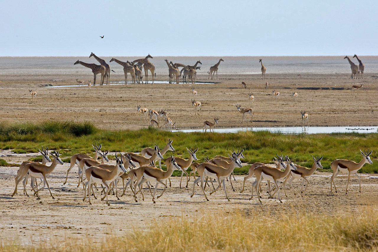
The park thrives mainly on these artificial waterholes, which attract countless animals in the dry season. With the onset of the rainy season, the animals are much less dependent on these waterholes and more difficult to find. The Etosha Pan itself can then contain up to 10 cm of water, and the park becomes more exciting for birdwatchers.
There are a few government camps in the park itself, most of which offer a less favourable experience. The good accommodation is located outside the park in private areas, in the east these are Mushara and Onguma, in the south it is the private Ongava area.
Namutoni and Okaukuejo are the two main camps at the eastern Von Lindequist Gate and the southern entrance to Etosha at Andersson's Gate respectively. The quieter Halali Camp is situated between the two. The state camps are very large and offer chalets, campsites, petrol stations and large picnic areas. If you are looking for a private experience, this is certainly not the place for you. Most of the roads run between these three camps and lead visitors to the various waterholes.
The western part of Etosha opened to visitors in 2011. This part of the park is very different from the area around the Etosha Pan, it has many more bushes and trees, less traffic, but also less to see.


Basic Information
Individual journey. The journey will be planned on your preferred dates.
Duration 21 nights. Min 2 guests. Minimum age 6 years. Weight limit of luggage 20 kg. Luggage in one soft bag only.
Includes all transfers from Windhoek to the hotels/camps to Windhoek
- Bagatelle Kalahari Farmhouse: Double Room. Dinner, breakfast.
- Fish River Lodge: Double Room. Dinner, breakfast. Includes guided drive into Fish River Canyon.
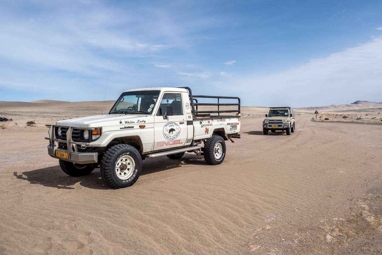
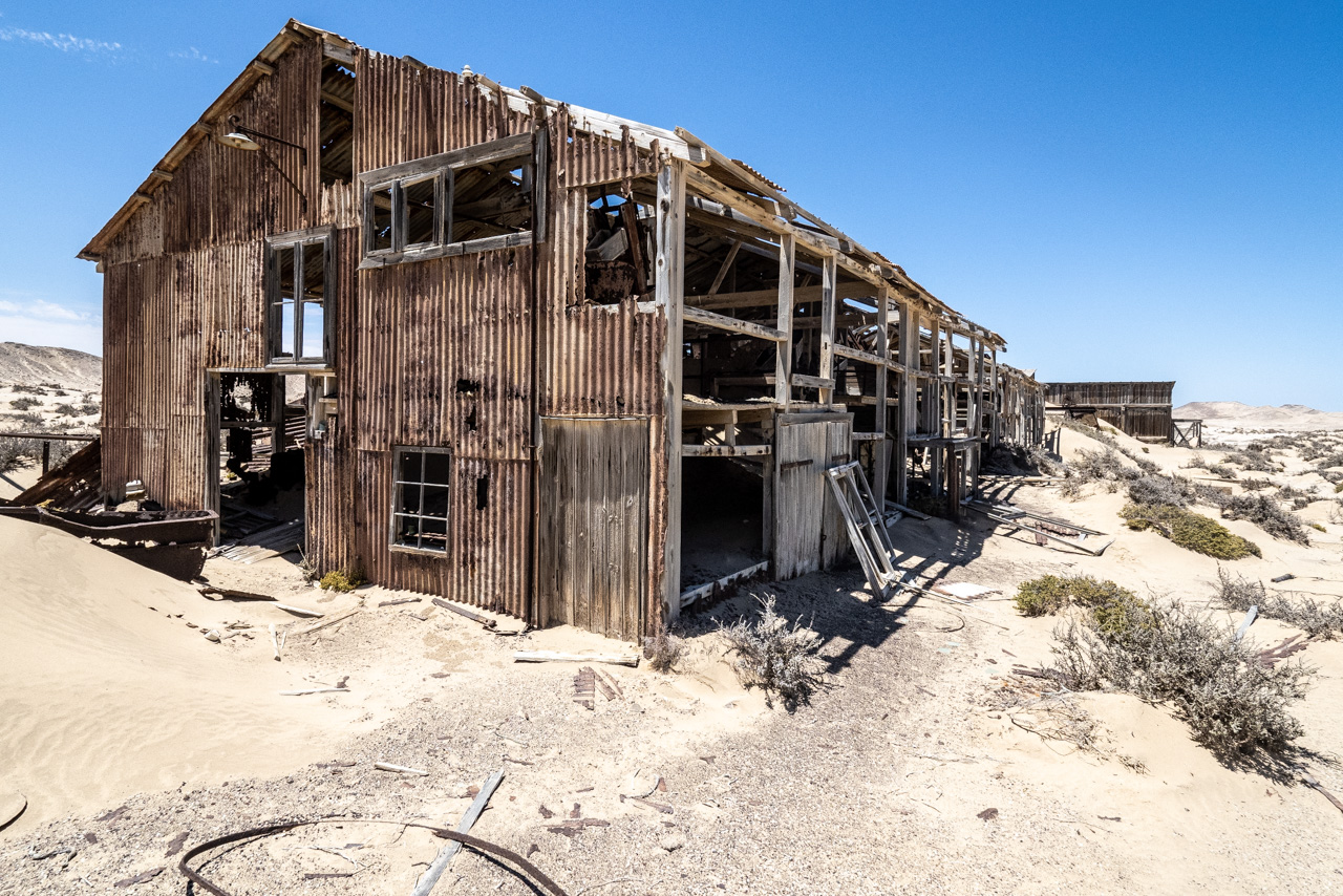
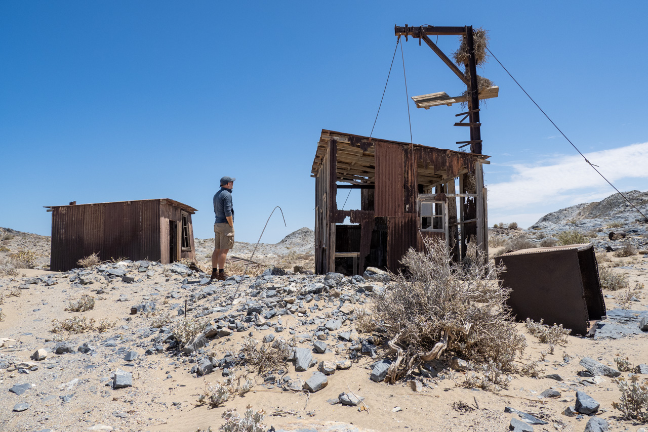
- Eagle's Nest: Double Room. Dinner, breakfast. Includes day trip to the old mining towns in the Sperrgebiet.
- Zannier Sonop: Double Room. All meals, drinks (except premier brands), twice daily shared activities with one of the camp guides.
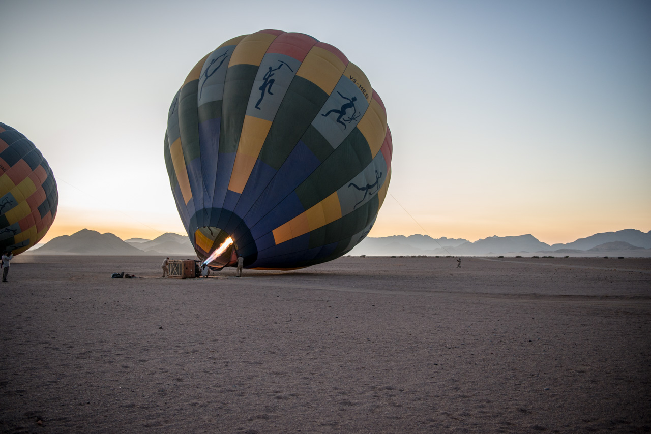
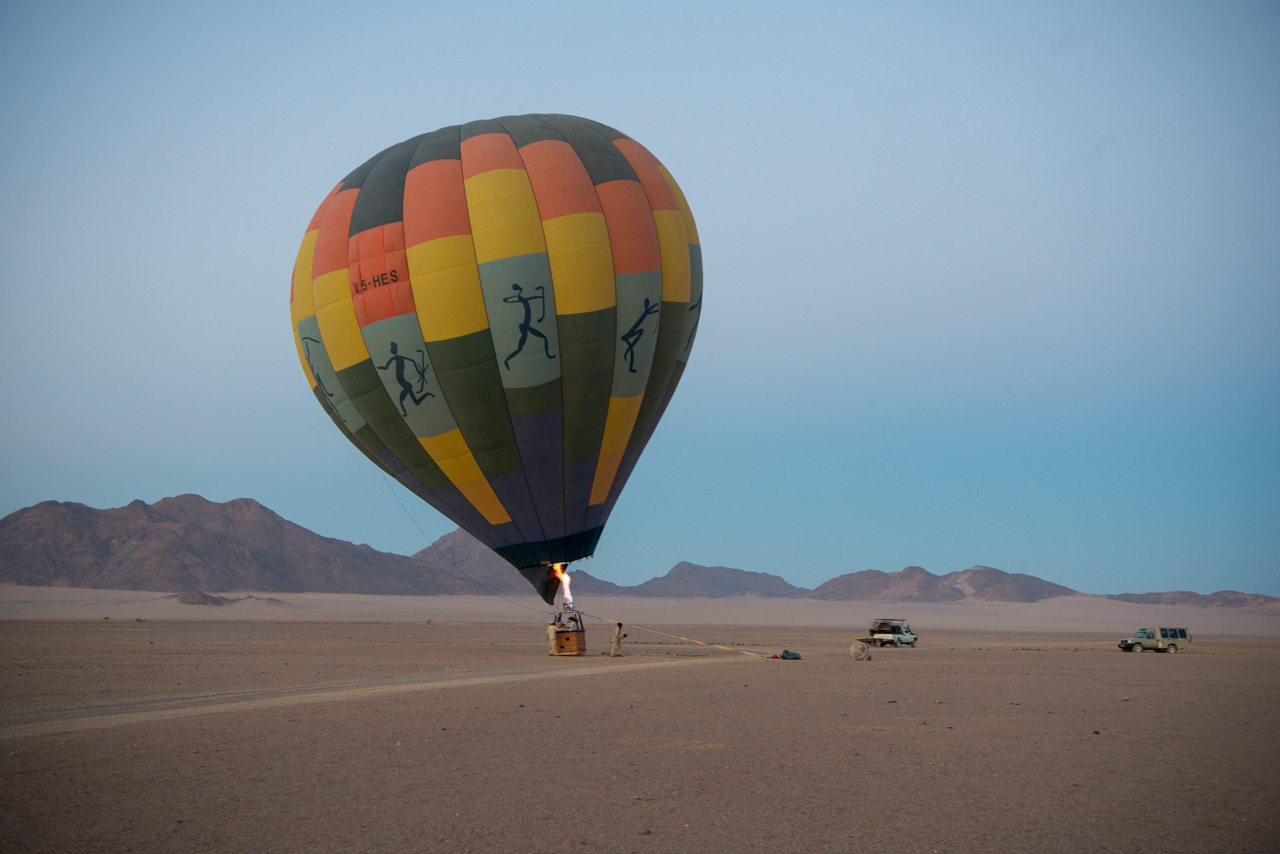
- Little Kulala: Double Room. All meals, drinks (except premier brands), laundry service, twice daily shared activities with one of the camp guides. Includes guided excursion to the Sossusvlei dunes and balloon flight.
- Strand Hotel: Luxury Room. Breakfast.
- Spitzkoppen Lodge: Double Room. Dinner, breakfast.
- Mowani Mountain Camp: Standard Room. Dinner, breakfast. Includes a guided trip to find the desert adapted elephants.
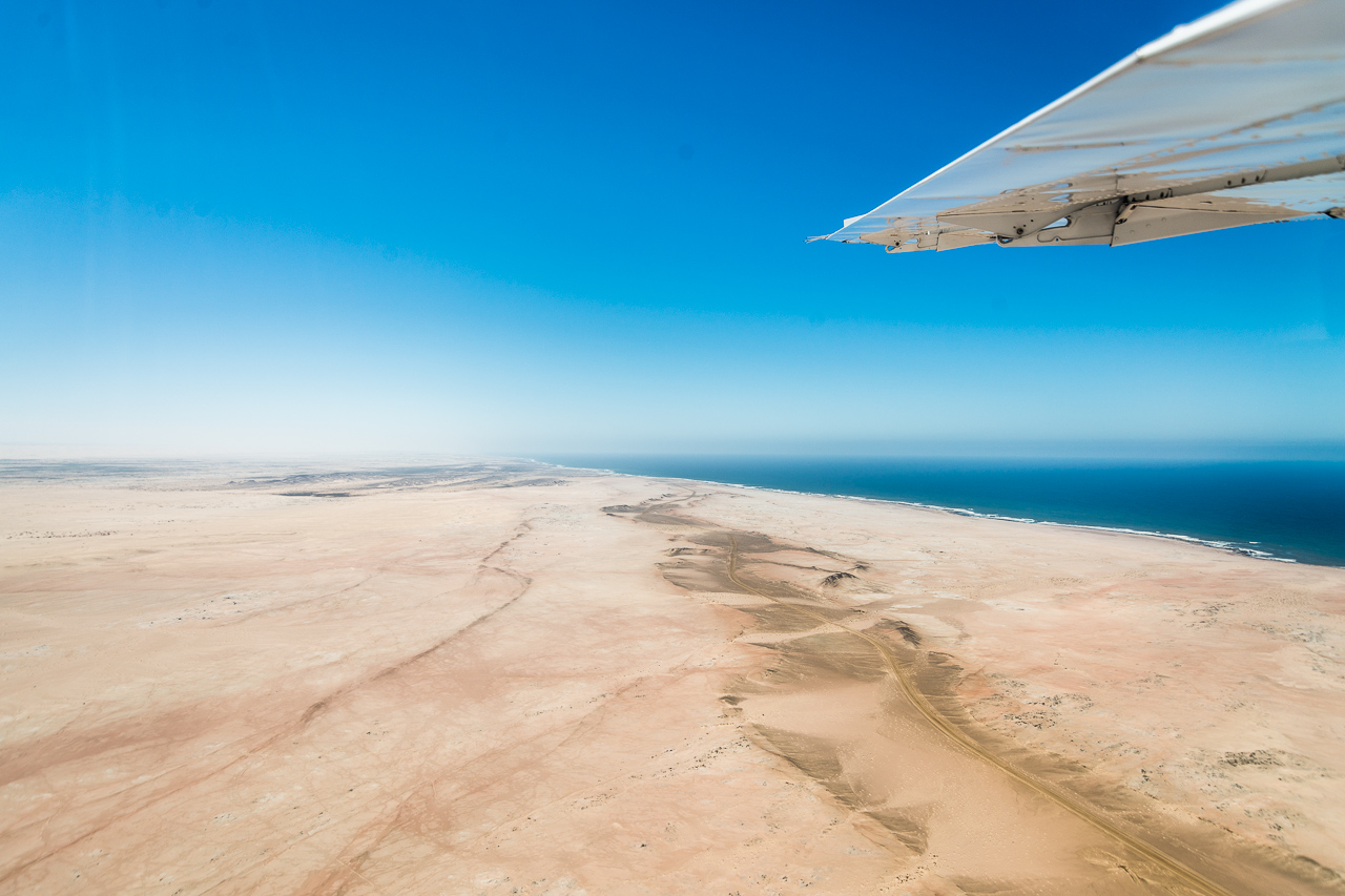
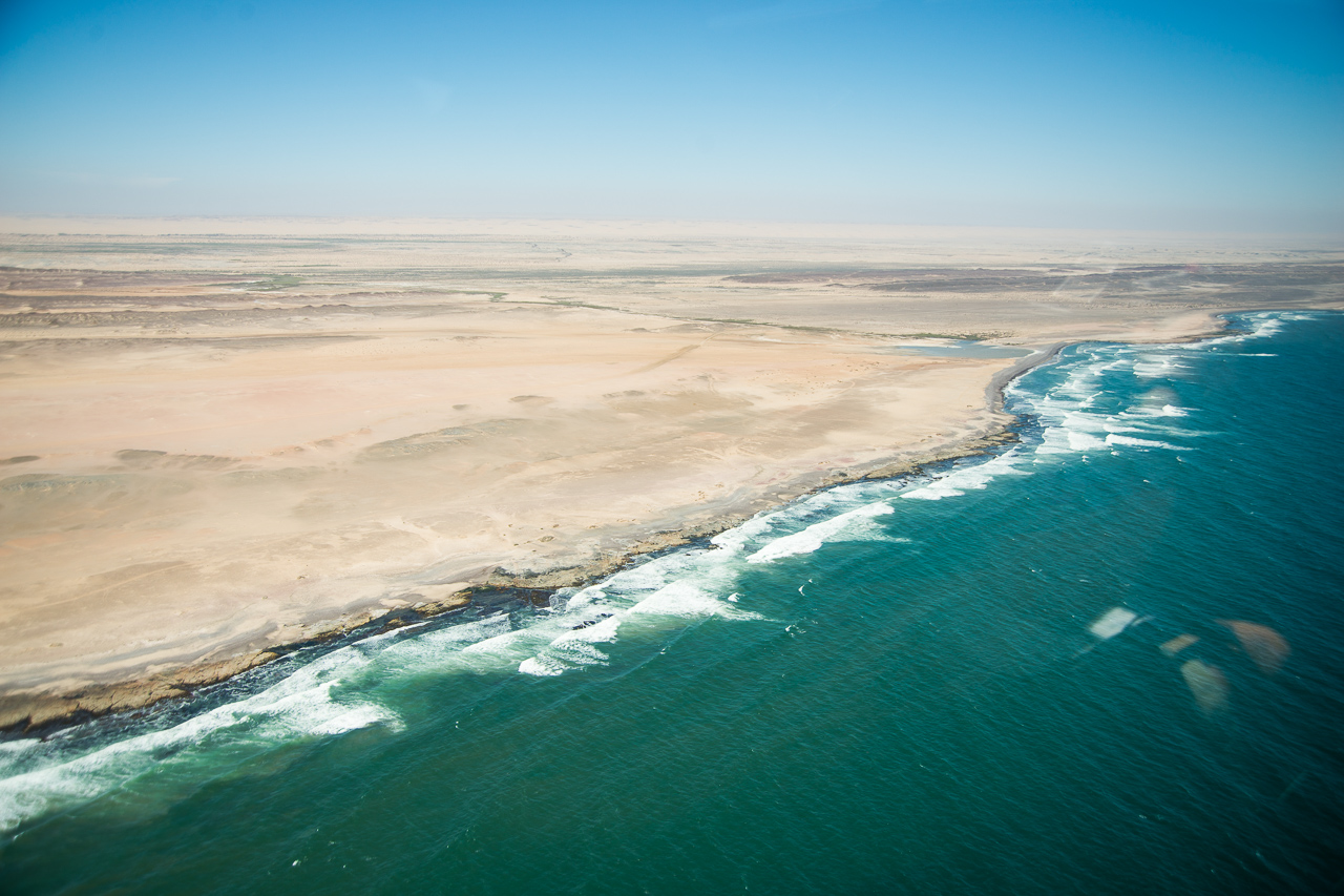
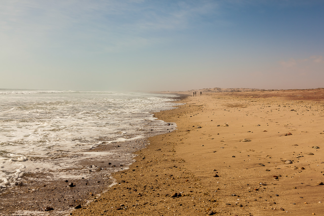
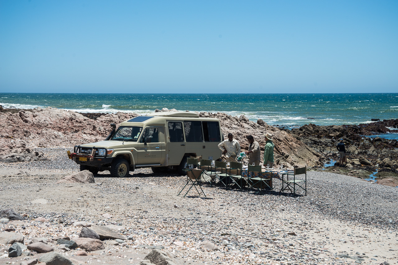
- Hoanib Skeleton Coast Camp: Double Room. All meals, drinks (except premier brands), laundry service, twice daily shared activities with one of the camp guides. Includes day trip to the skeleton coast / Moewe Bay.
- Andersson's Camp: Double Room. All meals, drinks (except premier brands), laundry service, twice daily shared activities with one of the camp guides.
Learn more about these areas